Salem | |
|---|---|
Dispersed Rural Community | |
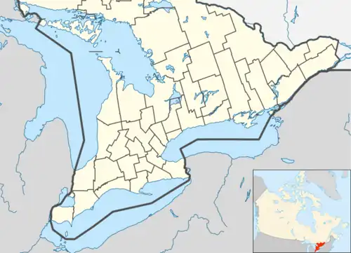 Salem Location in southern Ontario | |
| Coordinates: 44°03′16″N 81°18′04″W / 44.05444°N 81.30111°W[1] | |
| Country | Canada |
| Province | Ontario |
| County | Bruce |
| Municipality | South Bruce |
| Elevation | 283 m (928 ft) |
| Time zone | UTC-5 (Eastern Time Zone) |
| • Summer (DST) | UTC-4 (Eastern Time Zone) |
| Postal Code | N0G 2S0 |
| Area code(s) | 519, 226, 548 |
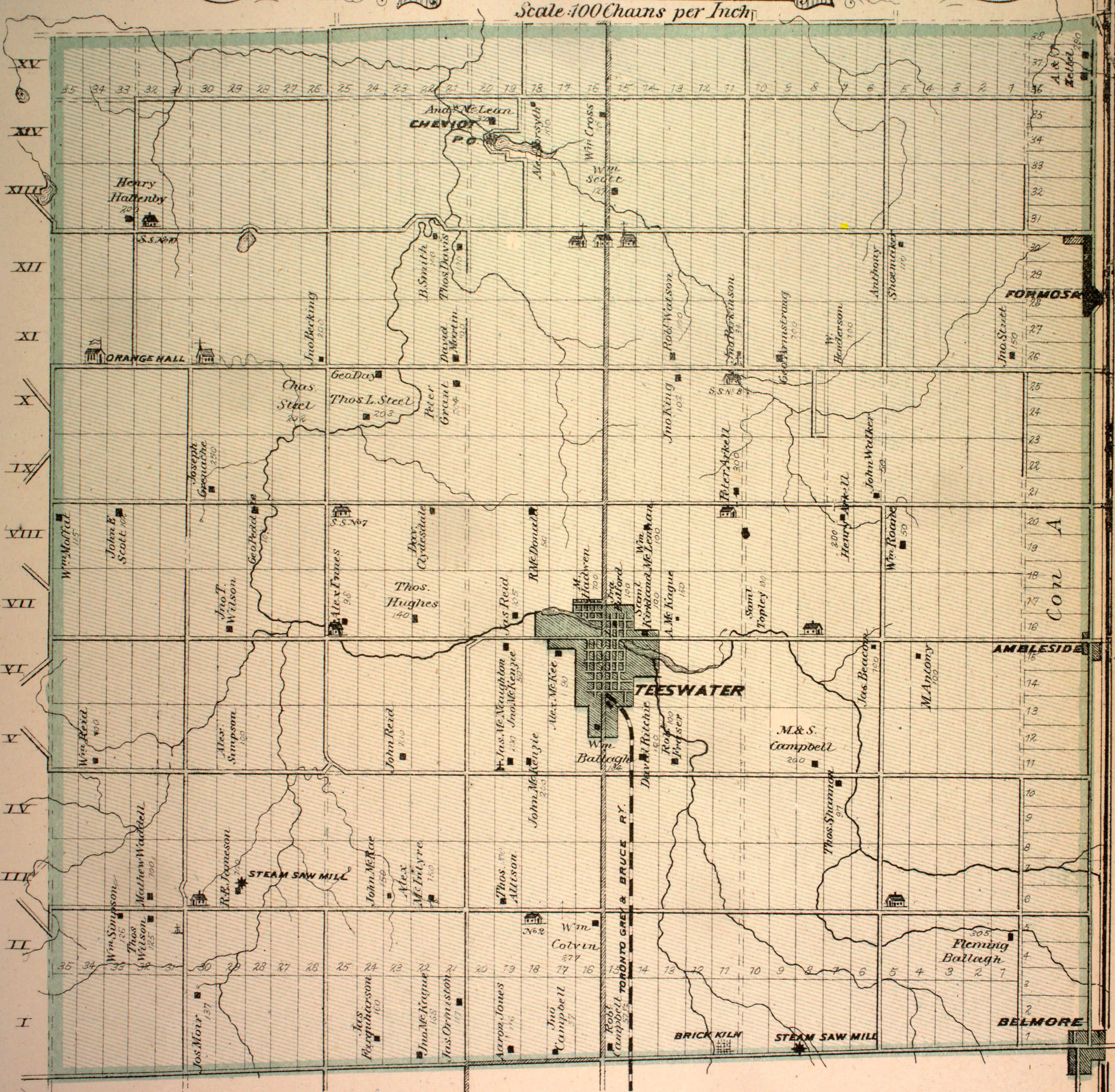
Salem is a Dispersed Rural Community and unincorporated place in the municipality of South Bruce, Bruce County in southwestern Ontario, Canada.[1][3][4] The community is in geographic Culross Township[5] at the intersection of Bruce County Road 4 and Concession Road 12, 6 kilometres (3.7 mi) north of the community of Teeswater and 7 kilometres (4.3 mi) west of the community of Formosa, and is the location of a United Church built in 1872.[6]
References
- 1 2 "Salem". Geographical Names Data Base. Natural Resources Canada. Retrieved 2017-03-17.
- ↑ Elevation taken at geographic coordinates from Google Maps. Accessed 2017-03-17.
- ↑ Map 4 (PDF) (Map). 1 : 700,000. Official road map of Ontario. Ministry of Transportation of Ontario. 2016-01-01. Retrieved 2017-03-17.
- ↑ Restructured municipalities - Ontario map #6 (Map). Restructuring Maps of Ontario. Ontario Ministry of Municipal Affairs and Housing. 2006. Retrieved 2017-03-17.
- ↑ "Township of Culross" (JPG). Canadian County Atlas Project. McGill University. 2001. Retrieved 2017-03-17.
- ↑ "Salem United Church". Bruce United Church Co-Operative. 2008. Retrieved 2017-03-17.
This article is issued from Wikipedia. The text is licensed under Creative Commons - Attribution - Sharealike. Additional terms may apply for the media files.