Saliña | |
|---|---|
Neighbourhood | |
 Stairs in Saliña | |
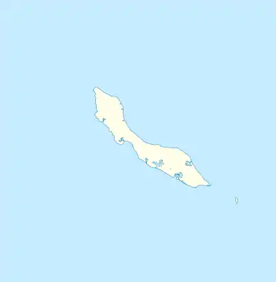 Saliña Location in Curaçao | |
| Coordinates: 12°6′19″N 68°54′12″W / 12.10528°N 68.90333°W | |
| State | Kingdom of the Netherlands |
| Country | Curaçao |
| City | Willemstad |
| Population (2011)[1] | |
| • Total | 2,538 |
Saliña is a residential area in southeast Curaçao located in the eastern part of the capital, Willemstad.[2] The word Saliña in Papiamentu means salt lake. Most of the lake has been poldered for housing developments. The neighborhood started as the plantation Saliña Abou in 1726.[3]
Saliña is one of the primary shopping and office districts on the island[4] with many retail stores, restaurants, cafes, banks and a mall. Its main road heads towards the east into the Caracasbaaiweg, which runs to the Caracas Bay and the Jan Thiel Beach with several major resorts.
References
- ↑ "Census 2011". Central Bureau of Statistics. Retrieved 17 April 2021.
- ↑ Buurtprofiel Saliña 2011, p. 3.
- ↑ Buurtprofiel Saliña 2011, p. 8.
- ↑ Buurtprofiel Saliña 2011, p. 11.
- "Salinja and Saliña Galleries". Willemstad, Curaçao: Curaçao Tourism Board. Retrieved September 24, 2015.
Bibliography
- Buurtprofiel Saliña (2011). "Buurtprofiel Saliña" (PDF). Government of Curaçao (in Dutch).
This article is issued from Wikipedia. The text is licensed under Creative Commons - Attribution - Sharealike. Additional terms may apply for the media files.