| Salonga River | |
|---|---|
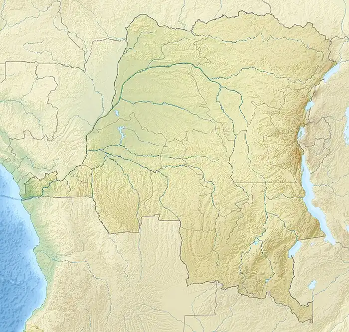
 Mouth location in the Democratic Republic of the Congo | |
| Location | |
| Country | Democratic Republic of the Congo |
| Physical characteristics | |
| Mouth | Busira River |
• coordinates | 0°17′18″S 19°53′57″E / 0.288243°S 19.899050°E |
| Length | 305 kilometres (190 mi) |
| Basin features | |
| River system | Congo River |
The Salonga River is a river in the Democratic Republic of the Congo. It is a tributary of the Busira River.
Course
The river's name is said to come from a mispronunciation of "nsao'loonga", the local name of a bird.[1] The Salonga River meanders in a generally northwest direction through the Salonga National Park and on to its confluence with the Busira River.[2] The Salonga National Park is the largest forest national park in Africa, with an area of 33,350 square kilometres (12,880 sq mi).[1] The river enters the Busira 2 kilometres (1.2 mi) upstream from Lotoko. It is navigable all year with 50 ton barges up to Watsi-Kengo.[3]
Notes
Sources
- Lederer, A. (1973), L'exploitation des affluents du Zaïre et des ports de l'intérieur de 1960 à 1971 (PDF) (in French), Académi e royal e des Sciences d'Outre-Mer: Classe des Sciences Techniques, N.S., XVII-6, Bruxelles, retrieved 2021-03-22
- "Relation: Salonga (380844)", OpenStreetMap, retrieved 2021-03-21
- Salonga Landscape, WWF, retrieved 2021-03-22
This article is issued from Wikipedia. The text is licensed under Creative Commons - Attribution - Sharealike. Additional terms may apply for the media files.