San Andrés Tepetlapa | |
|---|---|
Municipality and town | |
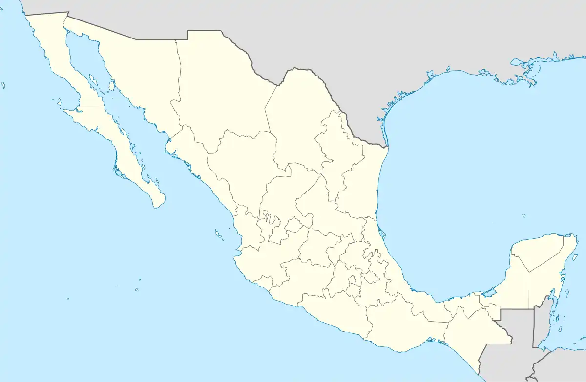 San Andrés Tepetlapa Location in Mexico | |
| Coordinates: 17°40′N 98°23′W / 17.667°N 98.383°W | |
| Country | |
| State | Oaxaca |
| Area | |
| • Total | 76.55 km2 (29.56 sq mi) |
| Population (2005) | |
| • Total | 485 |
| Time zone | UTC-6 (Central Standard Time) |
| • Summer (DST) | UTC-5 (Central Daylight Time) |
San Andrés Tepetlapa is a town and municipality in Oaxaca in south-western Mexico. The municipality covers an area of 76.55 km2. It is part of the Silacayoapam District in the Mixteca Region.
As of 2005, the municipality had a total population of 485.[1]
References
- ↑ "San Andrés Tepetlapa". Enciclopedia de los Municipios de México. Instituto Nacional para el Federalismo y el Desarrollo Municipal. Retrieved June 12, 2009.
This article is issued from Wikipedia. The text is licensed under Creative Commons - Attribution - Sharealike. Additional terms may apply for the media files.