San Andrés de Machaca Municipality | |
|---|---|
Municipality | |
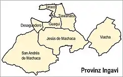
 Location of the municipality within Ingavi province | |
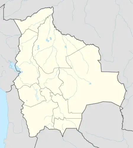
 San Andrés de Machaca Municipality Location of the San Andrés de Machaca Municipality within Bolivia | |
| Coordinates: 16°54′0″S 69°3′0″W / 16.90000°S 69.05000°W | |
| Country | |
| Department | La Paz Department |
| Province | Ingavi Province |
| Seat | San Andrés de Machaca |
| Government | |
| • Mayor | Erasmo Ticona Quenta (2008) |
| • President | Filomena Sarzuri Cruz (2008) |
| Area | |
| • Total | 580 sq mi (1,502 km2) |
| Population (2001) | |
| • Total | 6,299 |
| Time zone | UTC-4 (BOT) |
San Andrés de Machaca Municipality is the fifth municipal section of the Ingavi Province in the La Paz Department, Bolivia. Its seat is San Andrés de Machaca.
Division
The municipality consists of the following 9 cantons:[1]
- Chuncarcota de Machaca - 400 inhabitants (2001)
- Conchacollo de Machaca - 915 inhabitants
- Laquinamaya - 1.089 inhabitants
- Mauri - 616 inhabitants
- Nazacara - 494 inhabitants
- San Andrés de Machaca - 1.344 inhabitants
- Sombra Pata - 262 inhabitants
- Villa Artasivi de Machaca - 873 inhabitants
- Villa Pusuma Alto de Machaca - 317 inhabitants
The people
The people are predominantly indigenous citizens of Aymara descent.[2]
| Ethnic group | % |
|---|---|
| Quechua | 0.3 |
| Aymara | 96.0 |
| Guaraní, Chiquitos, Moxos | 0.1 |
| Not indigenous | 3.3 |
| Other indigenous groups | 0.4 |
Places of interest
Some of the tourist attractions of the municipality are:[3]
- Afiani lagoon in San Andrés de Machaca Canton
- The chullpa of Kañoma in San Andrés de Machaca Canton
- The church of San Andrés de Machaca, built between 1806 and 1836
See also
References
- ↑ National Institute of Statistics of Bolivia
- ↑ obd.descentralizacion.gov.bo/municipal/fichas/ (inactive)
- ↑ www.gobernacionlapaz.gob.bo Archived 2011-05-09 at the Wayback Machine Tourist guide by the government of the department
External links
This article is issued from Wikipedia. The text is licensed under Creative Commons - Attribution - Sharealike. Additional terms may apply for the media files.
