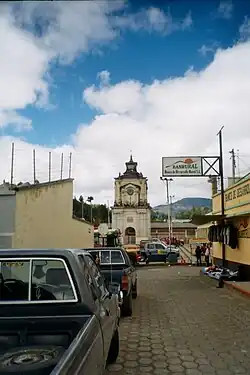
San Carlos Sija | |
|---|---|
Municipality and town | |
 | |
 Flag | |
 San Carlos Sija | |
| Coordinates: 14°59′N 91°33′W / 14.983°N 91.550°W | |
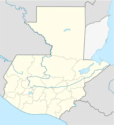
| Country | |
| Department | |
| Government | |
| • Type | Democratic |
| • Mayor | Leonides Calderon |
| Area | |
| • Total | 60 sq mi (160 km2) |
| Elevation | 9,000 ft (3,000 m) |
| Population (2010) | |
| • Total | 31,000 |
| • Density | 500/sq mi (193/km2) |
| Time zone | UTC+6 (Central Time) |
| Area code | 502 |
| Climate | Cwb |
San Carlos Sija is a municipality in Quetzaltenango department of Guatemala.
External links

This article is issued from Wikipedia. The text is licensed under Creative Commons - Attribution - Sharealike. Additional terms may apply for the media files.