San Pablo | |
|---|---|
Municipality | |
 La Igualdad waterfall, San Pablo. | |
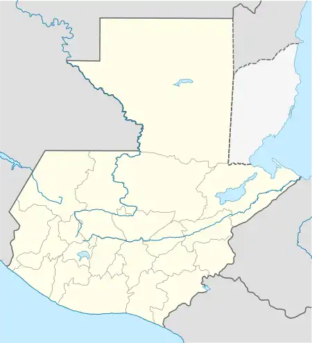 San Pablo Location in Guatemala | |
| Coordinates: 14°56′00″N 92°00′00″W / 14.93333°N 92.00000°W | |
| Country | |
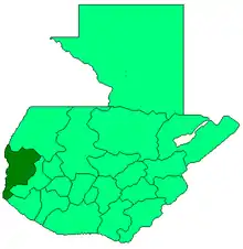
| Department | San Marcos Department |
| Government | |
| • Mayor | Raúl Maldonado[1] (URNG) |
| Area | |
| • Municipality | 55 sq mi (143 km2) |
| Population (2018 census)[2] | |
| • Municipality | 48,937 |
| • Density | 890/sq mi (340/km2) |
| • Urban | 16,768 |
San Pablo is a town and municipality in the San Marcos department of Guatemala.
Climate
San Pablo has a tropical climate (Köppen: Am).
| Climate data for San Pablo | |||||||||||||
|---|---|---|---|---|---|---|---|---|---|---|---|---|---|
| Month | Jan | Feb | Mar | Apr | May | Jun | Jul | Aug | Sep | Oct | Nov | Dec | Year |
| Mean daily maximum °C (°F) | 27.3 (81.1) |
27.6 (81.7) |
28.7 (83.7) |
29.0 (84.2) |
28.6 (83.5) |
27.3 (81.1) |
27.8 (82.0) |
27.8 (82.0) |
27.1 (80.8) |
27.0 (80.6) |
27.1 (80.8) |
27.1 (80.8) |
27.7 (81.9) |
| Daily mean °C (°F) | 20.8 (69.4) |
21.0 (69.8) |
22.0 (71.6) |
22.6 (72.7) |
22.7 (72.9) |
21.9 (71.4) |
22.1 (71.8) |
22.0 (71.6) |
21.7 (71.1) |
21.6 (70.9) |
21.2 (70.2) |
20.9 (69.6) |
21.7 (71.1) |
| Mean daily minimum °C (°F) | 14.3 (57.7) |
14.5 (58.1) |
15.4 (59.7) |
16.3 (61.3) |
16.8 (62.2) |
16.6 (61.9) |
16.4 (61.5) |
16.3 (61.3) |
16.4 (61.5) |
16.3 (61.3) |
15.4 (59.7) |
14.7 (58.5) |
15.8 (60.4) |
| Average precipitation mm (inches) | 48 (1.9) |
58 (2.3) |
125 (4.9) |
238 (9.4) |
517 (20.4) |
687 (27.0) |
490 (19.3) |
545 (21.5) |
726 (28.6) |
536 (21.1) |
185 (7.3) |
66 (2.6) |
4,221 (166.3) |
| Source: Climate-Data.org[3] | |||||||||||||
Geographic location
San Pablo is surrounded by San Marcos Department municipalities:
Places adjacent to San Pablo, San Marcos | ||||||||||||||||
|---|---|---|---|---|---|---|---|---|---|---|---|---|---|---|---|---|
| ||||||||||||||||
See also
References
- ↑ "San Marcos elige autoridades municipales". Prensa Libre (in Spanish). Guatemala. 8 September 2015. Retrieved 8 September 2015.
- ↑ Citypopulation.de Population of department and municipalities in Guatemala
- ↑ "Climate: San Pablo". Climate-Data.org. Retrieved 5 September 2015.
- 1 2 SEGEPLAN. "Municipios del departamento de San Marcos". Secretaría General de Planificación. Archived from the original on 10 July 2015.
External links
 Media related to San Pablo, San Marcos at Wikimedia Commons
This article is issued from Wikipedia. The text is licensed under Creative Commons - Attribution - Sharealike. Additional terms may apply for the media files.