Sandy Ground | |
|---|---|
District | |
 | |
 Sandy Ground | |
| Coordinates: 18°12′0″N 63°5′0″W / 18.20000°N 63.08333°W | |
| Country | |
| Overesas Territory | |
| Area | |
| • Land | 1.14 km2 (0.44 sq mi) |
| Population (2011)[1] | |
| • Total | 230 |
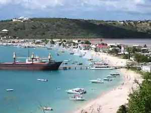
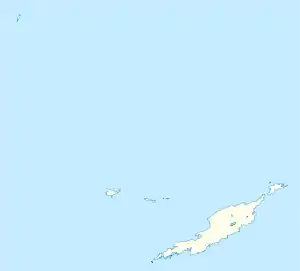
Sandy Ground is a village and one of the fourteen Districts of Anguilla, and its main port. The long curved beach is backed by high cliffs and a disused salt pond. According to the 2011 census Sandy Ground has a population of 230.[1]
Population
| Year | 1974 | 1984 | 1994 | 2001 | 2011 |
|---|---|---|---|---|---|
| Population | 242 | 234 | 247 | 274 | 230 [1] |
References
- 1 2 3 "Anguilla census data". Statoids.com. Retrieved 11 May 2021.
External links
Wikimedia Commons has media related to Sandy Ground, Anguilla.
This article is issued from Wikipedia. The text is licensed under Creative Commons - Attribution - Sharealike. Additional terms may apply for the media files.