Santa | |
|---|---|
Town and sub-prefecture | |
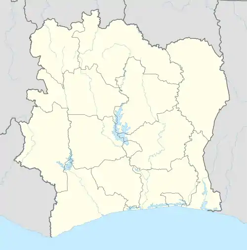 Santa Location in Ivory Coast | |
| Coordinates: 8°16′N 8°4′W / 8.267°N 8.067°W | |
| Country | |
| District | Woroba |
| Region | Bafing |
| Department | Ouaninou |
| Population (2014)[1] | |
| • Total | 9,357 |
| Time zone | UTC+0 (GMT) |
Santa is a town in the far west of Ivory Coast. It is a sub-prefecture of Ouaninou Department in Bafing Region, Woroba District.
Santa was a commune until March 2012, when it became one of 1126 communes nationwide that were abolished.[2] In 2014, the population of the sub-prefecture of Santa was 9,357.[3]
Villages
The eleven villages of the sub-prefecture of Santa and their population in 2014 are:[3]
- Drodougou (428)
- Gbagbadougou (236)
- Gondodougou (503)
- Gouékro (1 282)
- Kossagui (528)
- Kpoho 2 (857)
- Kpoho 3 (634)
- Nianlé (202)
- Santa (2 691)
- Séfesso (980)
- Zabanagoro (1 016)
Notes
- ↑ "Côte d'Ivoire". geohive.com. Retrieved 14 December 2015.
- ↑ "Le gouvernement ivoirien supprime 1126 communes, et maintient 197 pour renforcer sa politique de décentralisation en cours", news.abidjan.net, 7 March 2012.
- 1 2 "RGPH 2014, Répertoire des localités, Région Bafing" (PDF). ins.ci. Retrieved 5 August 2019.
Regional seat: Touba | ||
| Koro Department |  | |
| Ouaninou Department | ||
| Touba Department | ||
* also a commune | ||
This article is issued from Wikipedia. The text is licensed under Creative Commons - Attribution - Sharealike. Additional terms may apply for the media files.