Santa Cruz de Lorica
Loriquero/a | |
|---|---|
Municipality and town | |
.svg.png.webp) Flag  Seal | |
 Location of the municipality and town of Santa Cruz de Lorica in the Córdoba Department of Colombia. | |
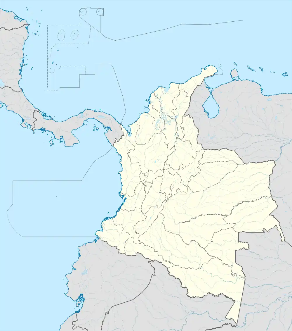 Santa Cruz de Lorica Location in Colombia | |
| Coordinates: 9°13′54″N 75°49′11″W / 9.23167°N 75.81972°W | |
| Country | |
| Department | Córdoba Department |
| Founded | 1740 |
| Government | |
| • Mayor | Francisco José Jattin Corrales |
| Area | |
| • Municipality and town | 951 km2 (367 sq mi) |
| • Urban | 7.88 km2 (3.04 sq mi) |
| Elevation | 7 m (23 ft) |
| Population (2020 est.)[1] | |
| • Municipality and town | 115,461 |
| • Density | 120/km2 (310/sq mi) |
| • Urban | 54,430 |
| • Urban density | 6,900/km2 (18,000/sq mi) |
| Demonym | Loriquero |
| Time zone | UTC-5 (Colombia Standard Time) |
| Area code | 57 + 4 |
| Website | Official website (in Spanish) |
Santa Cruz de Lorica is a town and municipality located in the Córdoba Department, northern Colombia.
Lorica was named a Pueblo Patrimonio (heritage town) of Colombia in 2010. It is the only municipality near the Caribbean coast that was selected to be part of the Red Turística de Pueblos Patrimonio original cohort.[2]
As per 2020 estimates, the population of Santa Cruz de Lorica was 115,461, with a density ratio of 120 persons per square kilometer.
References
- (in Spanish) Gobernacion de Cordoba - Santa Cruz de Lorica
- (in Spanish) Santa Cruz de Lorica official website
- ↑ Citypopulation.de Population of Santa Cruz de Lorica municipality
- ↑ "GUÍA: Red Turística de Pueblos Patrimonio de Colombia" (PDF). Fondo Nacional de Turismo de la República de Colombia - FONTUR. Dec 2020. Retrieved 29 Mar 2021.
9°13′54″N 75°49′11″W / 9.23167°N 75.8197°W
This article is issued from Wikipedia. The text is licensed under Creative Commons - Attribution - Sharealike. Additional terms may apply for the media files.