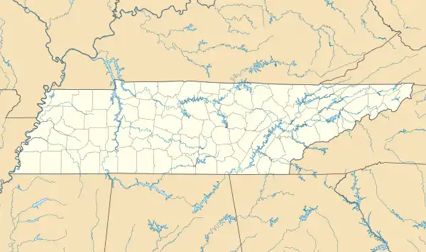
Santa Fe, Tennessee | |
|---|---|
 Santa Fe, Tennessee  Santa Fe, Tennessee | |
| Coordinates: 35°44′06″N 87°07′41″W / 35.73500°N 87.12806°W | |
| Country | United States |
| State | Tennessee |
| County | Maury |
| Elevation | 673 ft (205 m) |
| Time zone | UTC-6 (Central (CST)) |
| • Summer (DST) | UTC-5 (CDT) |
| ZIP code | 38482 |
| Area code | 931 |
| GNIS feature ID | 1307028[1] |

Santa Fe Diner in Santa Fe, TN

Santa Fe Post Office Built in 1849

Santa Fe Cemetery entrance in Santa Fe, TN
Santa Fe (Pronounced as "SAN-tuh FEE") is an unincorporated community in Maury County, Tennessee, United States.[1] Its ZIP code is 38482.[2]
History
A post office called Santa Fe was established in 1849.[3] Variant names were "Benton" and "Pinhook."[1] The name "Santa Fe" was adopted when the post office opened.[4]
Notes
- 1 2 3 "Santa Fe, Tennessee". Geographic Names Information System. United States Geological Survey, United States Department of the Interior.
- ↑ United States Postal Service (2012). "USPS - Look Up a ZIP Code". Retrieved February 15, 2012.
- ↑ "Post Offices". Jim Forte Postal History. Retrieved June 17, 2017.
- ↑ History of Tennessee from the Earliest Time to the Present. Goodspeed Publishing Company. 1886. p. 775.
This article is issued from Wikipedia. The text is licensed under Creative Commons - Attribution - Sharealike. Additional terms may apply for the media files.