Santo Antônio da Alegria | |
|---|---|
 Flag  Coat of arms | |
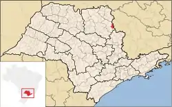 Location in São Paulo state | |
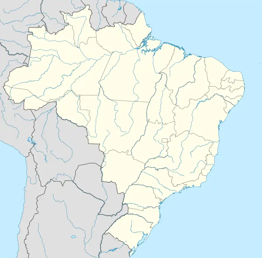 Santo Antônio da Alegria Location in Brazil | |
| Coordinates: 21°5′13″S 47°9′4″W / 21.08694°S 47.15111°W | |
| Country | Brazil |
| Region | Southeast |
| State | São Paulo |
| Metrop. region | Ribeirão Preto |
| Government | |
| • Mayor | Ricardo da Silva Sobrinho (2021/2024) |
| Area | |
| • Total | 310.29 km2 (119.80 sq mi) |
| Elevation | 791 m (2,595 ft) |
| Population (2020 [1]) | |
| • Total | 6,977 |
| • Density | 22/km2 (58/sq mi) |
| Demonym | Alegriense |
| Time zone | UTC−3 (BRT) |
| Postal code | 14390-xxx |
| Area code | +55-16 |
| Website | www |
Santo Antônio da Alegria is a municipality in the northern part of the state of São Paulo in Brazil. The population is 6,977 (2020 est.) in an area of 310.29 km².[2] The elevation is 791 m. A neighboring municipality is São Sebastião do Paraíso in Minas Gerais to the northeast.
Government
- Mayor: Ricardo da Silva Sobrinho (2021/2024)
- Vice Mayor: Denilson de Carvalho (2021/2024)
References
External links
- (in Portuguese) http://www.santoantoniodaalegria.sp.gov.br
- (in Portuguese) citybrazil.com.br
This article is issued from Wikipedia. The text is licensed under Creative Commons - Attribution - Sharealike. Additional terms may apply for the media files.