Santo Domingo Tlatayápam | |
|---|---|
Municipality and town | |
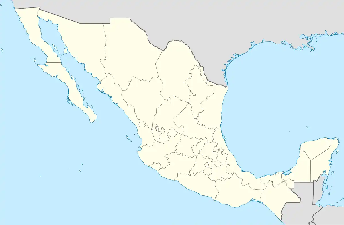 Santo Domingo Tlatayápam Location in Mexico | |
| Coordinates: 17°24′24″N 97°20′46″W / 17.40667°N 97.34611°W | |
| Country | |
| State | Oaxaca |
| Area | |
| • Municipality and town | 12 km2 (5 sq mi) |
| Elevation | 2,248 m (7,375 ft) |
| Population (2010) | |
| • Municipality and town | 153 |
| • Urban | 147 |
| Time zone | UTC-6 (Central Standard Time) |
| • Summer (DST) | UTC-5 (Central Daylight Time) |
Santo Domingo Tlatayápam is a village and small municipality in Oaxaca in south-western Mexico. The municipality covers an area of 12 km². It is part of the Teposcolula District in the center of the Mixteca Region
Demography
As of the 2010 census, the village had a population of 147 inhabitants, while the municipality had a total population of 153 inhabitants.[1] It is the third-smallest municipality in Mexico in population (following Santa Magdalena Jicotlán and Santiago Tepetlapa, both also in Oaxaca).
References
- ↑ 2010 census tables: INEGI Archived 2013-05-02 at the Wayback Machine
This article is issued from Wikipedia. The text is licensed under Creative Commons - Attribution - Sharealike. Additional terms may apply for the media files.