Sauherad | |
|---|---|
Village | |
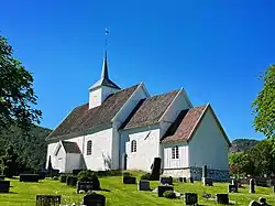 View of the village church | |
 Sauherad Location of the village 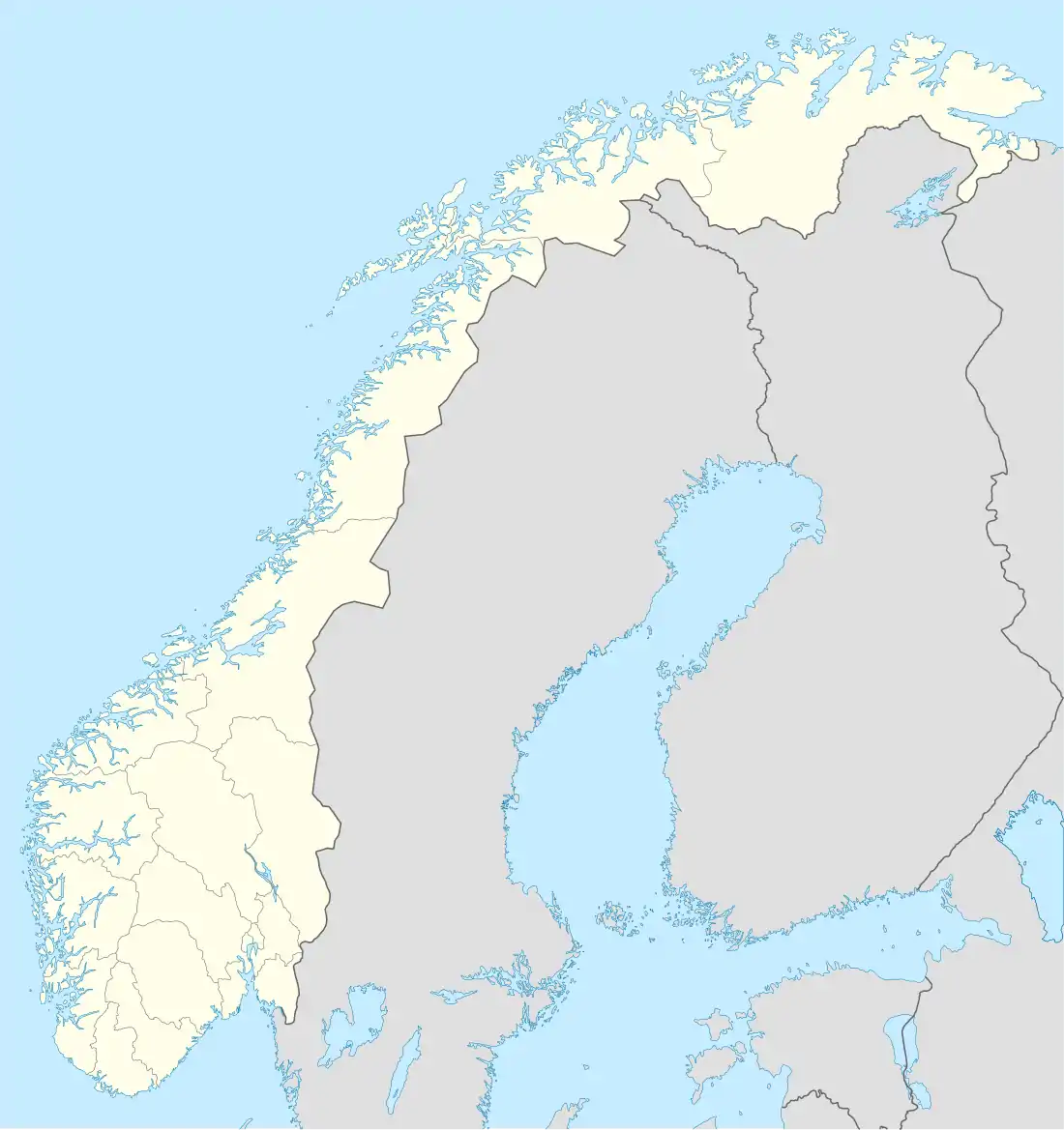 Sauherad Sauherad (Norway) | |
| Coordinates: 59°25′18″N 9°16′52″E / 59.42178°N 9.2811°E | |
| Country | Norway |
| Region | Eastern Norway |
| County | Vestfold og Telemark |
| District | Aust-Telemark |
| Municipality | Midt-Telemark Municipality |
| Elevation | 108 m (354 ft) |
| Time zone | UTC+01:00 (CET) |
| • Summer (DST) | UTC+02:00 (CEST) |
| Post Code | 3812 Akkerhaugen |
Sauherad is a small rural village in Midt-Telemark Municipality in Vestfold og Telemark county, Norway. The village is located on the west shore of the river Sauarelva, about 4 kilometres (2.5 mi) northeast of the village of Akkerhaugen, and across the river from the village of Nordagutu. The Sauherad Church is located in this village.
References
- ↑ "Sauherad, Midt-Telemark". yr.no. Retrieved 29 August 2023.
This article is issued from Wikipedia. The text is licensed under Creative Commons - Attribution - Sharealike. Additional terms may apply for the media files.