| Saulsbury Creek Tributary to Marshyhope Creek | |
|---|---|
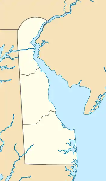 Location of Saulsbury Creek mouth  Saulsbury Creek (Marshyhope Creek tributary) (the United States) | |
| Location | |
| Country | United States |
| State | Delaware Maryland |
| County | Kent (DE) Caroline (MD) |
| Physical characteristics | |
| Source | Herring Run divide |
| • location | about 2 miles northwest of Hickman, Delaware |
| • coordinates | 38°51′9.00″N 075°44′27.00″W / 38.8525000°N 75.7408333°W[1] |
| • elevation | 54 ft (16 m)[1] |
| Mouth | Marshyhope Creek |
• location | Adamsville, Delaware |
• coordinates | 38°50′2.41″N 075°41′7.75″W / 38.8340028°N 75.6854861°W[1] |
• elevation | 33 ft (10 m)[1] |
| Length | 4.09 mi (6.58 km)[2] |
| Basin size | 11.55 square miles (29.9 km2)[3] |
| Discharge | |
| • location | Marshyhope Creek |
| • average | 14.04 cu ft/s (0.398 m3/s) at mouth with Marshyhope Creek[3] |
| Basin features | |
| Progression | Marshyhope Creek → Nanticoke River → Chesapeake Bay → Atlantic Ocean[2] |
| River system | Nanticoke River |
| Tributaries | |
| • left | Cattail Branch |
| • right | unnamed tributaries |
| Bridges | Hobbs Road, Cattail Branch Road, Burrsville Road |
Saulsbury Creek is a 4.09 mi (6.58 km) long third-order tributary to Marshyhope Creek in Kent County, Delaware and Caroline County, Maryland.
Variant names
According to the Geographic Names Information System, it has also been known historically as:[1]
- Kirks Branch
- Saulisbury Creek
Course
Saulsbury Creek rises on the Herring Run divide about 2 miles northwest of Hickman, Delaware, and then flows generally southeast to join Marshyhope Creek at Adamsville, Delaware.[1]
Watershed
Saulsbury Creek drains 11.85 square miles (30.7 km2) of area, receives about 44.2 in/year of precipitation, and is about 8.55% forested.[3]
See also
References
- 1 2 3 4 5 6 "Geographic Names Information System". edits.nationalmap.gov. US Geological Survey. Retrieved March 3, 2023.
- 1 2 "ArcGIS Web Application". epa.maps.arcgis.com. US EPA. Retrieved March 3, 2023.
- 1 2 3 "Saulsbury Creek Watershed Report". watersgeo.epa.gov. US EPA. Retrieved March 3, 2023.
This article is issued from Wikipedia. The text is licensed under Creative Commons - Attribution - Sharealike. Additional terms may apply for the media files.