Scharendijke | |
|---|---|
Village | |
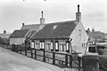
 Former church of Scharendijke | |
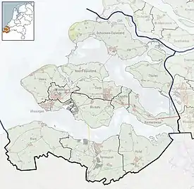 Scharendijke Location in the province of Zeeland in the Netherlands 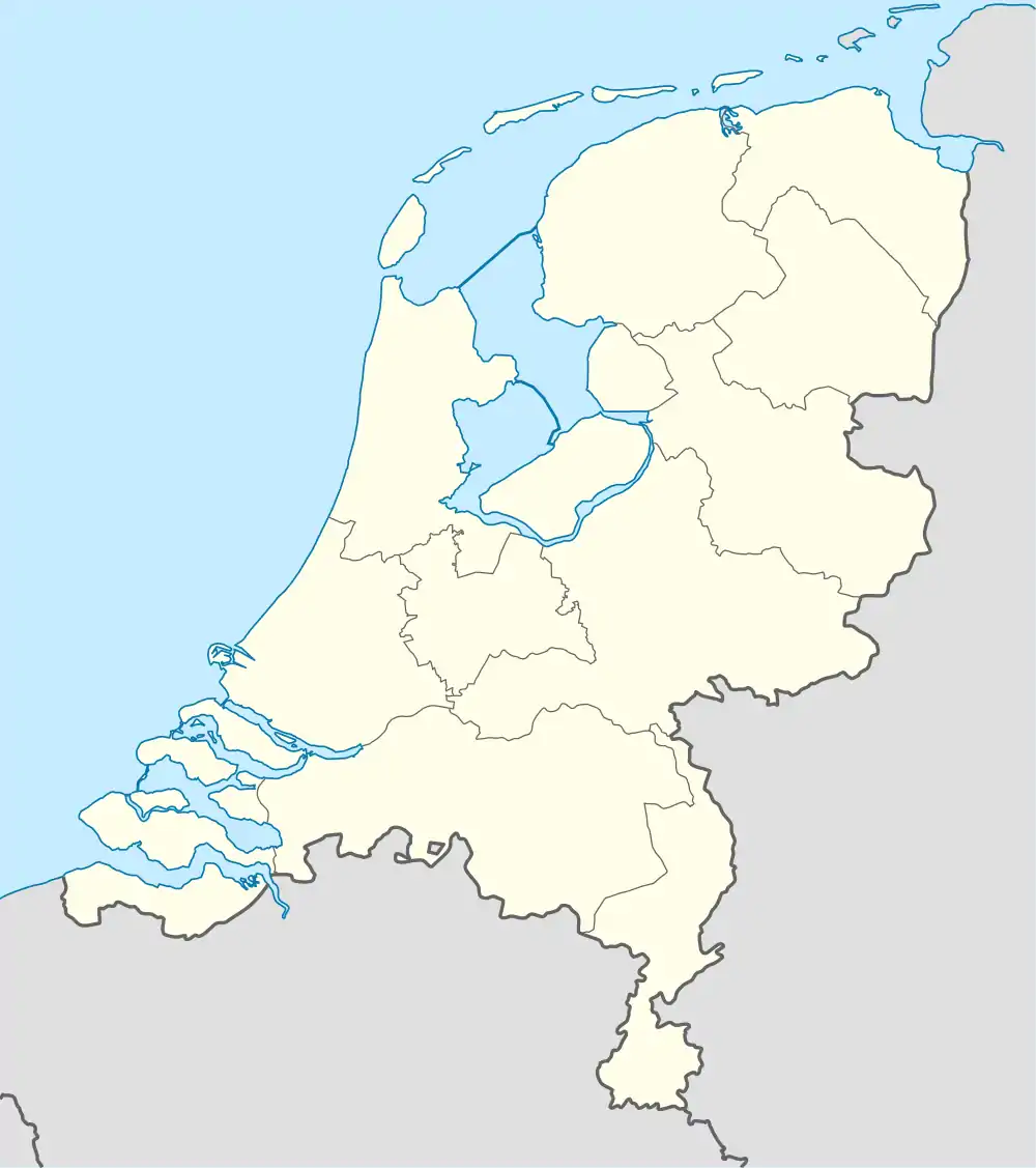 Scharendijke Scharendijke (Netherlands) | |
| Coordinates: 51°44′5″N 3°50′41″E / 51.73472°N 3.84472°E | |
| Country | Netherlands |
| Province | Zeeland |
| Municipality | Schouwen-Duiveland |
| Area | |
| • Total | 14.07 km2 (5.43 sq mi) |
| Elevation | 0.2 m (0.7 ft) |
| Population (2021)[1] | |
| • Total | 1,260 |
| • Density | 90/km2 (230/sq mi) |
| Time zone | UTC+1 (CET) |
| • Summer (DST) | UTC+2 (CEST) |
| Postal code | 4322[1] |
| Dialing code | 0111 |
Scharendijke is a village in the Dutch province of Zeeland. It is a part of the municipality of Schouwen-Duiveland, and lies about 24 km west of Hellevoetsluis.
The village was first mentioned in 1487 as Schaerdendijke, and is a combination of dike and trench.[3] Scharendijke is a dike village. It was originally a little hamlet. Between 1901 and 1902, a harbour was built and it developed into a little village around the harbour.[4][5]
Scharendijke was home to 204 people in 1840.[5] Part of the village was rebuilt after the North Sea flood of 1953. From the 1970s onwards, holiday homes were built around the village.[4]
Scharendijke used to be part of the municipality of Elkerzee. In 1960, the municipality of Middenschouwen was created and Scharendijk became its capital. In 1997, it was merged into Schouwen-Duiveland.[5]
Gallery
 House on the dike
 Supermarket
References
- 1 2 3 "Kerncijfers wijken en buurten 2021". Central Bureau of Statistics. Retrieved 21 April 2022.
- ↑ "Postcodetool for 4322AA". Actueel Hoogtebestand Nederland (in Dutch). Het Waterschapshuis. Retrieved 21 April 2022.
- ↑ "Scharendijke - (geografische naam)". Etymologiebank (in Dutch). Retrieved 21 April 2022.
- 1 2 Piet van Cruyningen & Ronald Stenvert (2003). Scharendijke (in Dutch). Zwolle: Waanders. ISBN 90 400 8830 6. Retrieved 21 April 2022.
- 1 2 3 "Scharendijke". Plaatsengids (in Dutch). Retrieved 21 April 2022.