Scharrel
Skäddel | |
|---|---|
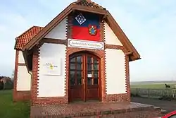 Former train station | |
 Coat of arms | |
Location of Scharrel within Cloppenburg district 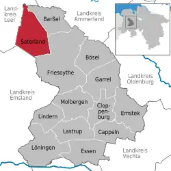 | |
 Scharrel 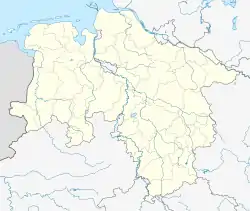 Scharrel | |
| Coordinates: 53°4′18″N 7°42′26″E / 53.07167°N 7.70722°E | |
| Country | Germany |
| State | Lower Saxony |
| District | Cloppenburg |
| Municipality | Saterland |
| Population (2006) | |
| • Total | 2,478 |
| Time zone | UTC+01:00 (CET) |
| • Summer (DST) | UTC+02:00 (CEST) |
| Postal codes | 26683 |
| Dialling codes | 0 44 92 |
| Website | www.saterland.de |
Scharrel (Saterland Frisian: Skäddel [ˈskɛdəl]) is a village and former municipality in the German state of Lower Saxony. In 1974 the until then independent municipality became part of the newly formed municipality of Saterland in the District of Cloppenburg.[1]
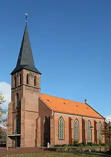
Church of Saints Peter and Paul

A bilingual sign, with the second line showing the place name in Saterland Frisian
References
- ↑ "Zahlen, Daten, Fakten" (in German). Retrieved 2020-10-24.
External links
- Official municipality site (in German)
Wikimedia Commons has media related to Scharrel (Saterland).
Towns and municipalities in Cloppenburg (district) | ||
|---|---|---|
Coat of arms | ||
This article is issued from Wikipedia. The text is licensed under Creative Commons - Attribution - Sharealike. Additional terms may apply for the media files.