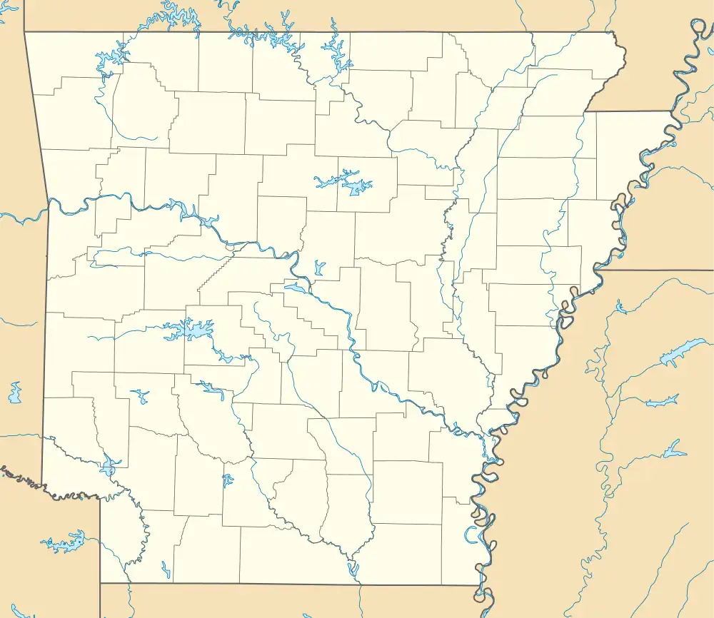
Scotland, Arkansas | |
|---|---|
 Scotland  Scotland | |
| Coordinates: 35°31′39″N 92°36′43″W / 35.52750°N 92.61194°W | |
| Country | United States |
| State | Arkansas |
| County | Van Buren |
| Elevation | 659 ft (201 m) |
| Time zone | UTC-6 (Central (CST)) |
| • Summer (DST) | UTC-5 (CDT) |
| ZIP code | 72141 |
| GNIS feature ID | 58594[1] |
Scotland is an unincorporated community in southwestern Van Buren County, Arkansas, United States, near the head of the South Fork of the Little Red River. In April 2010, a tornado struck this community which resulted in extreme damage.
Education
Public education for elementary and secondary school students is provided by the Clinton School District,[2][3] which leads students to graduate from Clinton High School.
Scotland was a part of the Scotland School District until July 1, 2004, when that district consolidated with the Alread School District into the existing Clinton school district.[4]
References
- ↑ U.S. Geological Survey Geographic Names Information System: Scotland, Arkansas
- ↑ "2020 CENSUS - SCHOOL DISTRICT REFERENCE MAP: Van Buren County, AR" (PDF). U.S. Census Bureau. Retrieved June 8, 2023. - 2010 Map. Compare with the Arkansas Highway Maps.
- ↑ "General Highway Map Van Buren County, Arkansas" (PDF). Arkansas Department of Transportation. Retrieved March 17, 2021. - See Scotland and Alread on the map, compare to the school district map.
- ↑ "ConsolidationAnnex_from_1983.xls." Arkansas Department of Education. Retrieved on May 23, 2018. Note that the Alread and Scotland districts consolidated into Clinton, so Clinton serves those communities.
This article is issued from Wikipedia. The text is licensed under Creative Commons - Attribution - Sharealike. Additional terms may apply for the media files.
