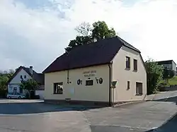
Sedlečko u Soběslavě | |
|---|---|
 Municipal office | |
 Flag  Coat of arms | |
 Sedlečko u Soběslavě Location in the Czech Republic | |
| Coordinates: 49°16′58″N 14°44′34″E / 49.28278°N 14.74278°E | |
| Country | |
| Region | South Bohemian |
| District | Tábor |
| First mentioned | 1366 |
| Area | |
| • Total | 2.86 km2 (1.10 sq mi) |
| Elevation | 423 m (1,388 ft) |
| Population (2023-01-01)[1] | |
| • Total | 223 |
| • Density | 78/km2 (200/sq mi) |
| Time zone | UTC+1 (CET) |
| • Summer (DST) | UTC+2 (CEST) |
| Postal code | 392 01 |
| Website | www |
Sedlečko u Soběslavě is a municipality and village in Tábor District in the South Bohemian Region of the Czech Republic. It has about 200 inhabitants.
Sedlečko u Soběslavě lies approximately 16 kilometres (10 mi) south-east of Tábor, 40 km (25 mi) north-east of České Budějovice, and 93 km (58 mi) south of Prague.
References
Wikimedia Commons has media related to Sedlečko u Soběslavě.
This article is issued from Wikipedia. The text is licensed under Creative Commons - Attribution - Sharealike. Additional terms may apply for the media files.