Sendura | |
|---|---|
village | |
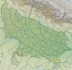 Sendura Location in Uttar Pradesh, India | |
| Coordinates: 25°23′51″N 83°38′45″E / 25.39750°N 83.64583°E | |
| Country | |
| State | Uttar Pradesh |
| District | Ghazipur |
| Established | 1800 |
| Government | |
| • Type | Sarpanch |
| • Body | Gram panchayat |
| Area | |
| • Total | 279.61 ha (690.93 acres) |
| Population (2011) | |
| • Total | 2,315 |
| • Density | 830/km2 (2,100/sq mi) |
| Languages | |
| • Official | Hindi,Urdu &Bhojpuri |
| Time zone | UTC+5:30 (IST) |
| Vehicle registration | UP |
| Website | up |
Sendura is a village in Kamsaar of Ghazipur District in Uttar Pradesh, India. It was a part of Mircha village and its Gram Panchayat but was later, made a separate village. Most of the people living in Sendura are Hindus but it also has large communities of Muslim Pathans from Mircha village and nearby villages.[1][2][3] As of the 2011 census the main village of 27 acres and had 371 house holds.[4]
Historical population
| Year | Pop. | ±% |
|---|---|---|
| 1861 | 258 | — |
| 1871 | 285 | +10.5% |
| 1881 | 325 | +14.0% |
| 1891 | 365 | +12.3% |
| 1901 | 402 | +10.1% |
| 1911 | 462 | +14.9% |
| 1921 | 530 | +14.7% |
| 1931 | 584 | +10.2% |
| 1941 | 642 | +9.9% |
| 1951 | 710 | +10.6% |
| 1961 | 914 | +28.7% |
| 1971 | 1,073 | +17.4% |
| 1981 | 1,190 | +10.9% |
| 1991 | 1,322 | +11.1% |
| 2001 | 1,983 | +50.0% |
| 2011 | 2,315 | +16.7% |
| Source:Census of India[5][6][7] | ||
References
- ↑ "Semdura village in Ghazipur District of Uttar Pradesh".
- ↑ "Sendura, zamania villages list".
- ↑ "Sendura village, in Ghazipur".
- ↑ "Bhulekh".
- ↑ "Census of India". mospi.gov.in. Archived from the original on 13 August 2008. Retrieved 23 June 2008.
- ↑ "2011 census of India".
- ↑ "Historical Census of India". Archived from the original on 17 February 2013. Retrieved 5 November 2015.
This article is issued from Wikipedia. The text is licensed under Creative Commons - Attribution - Sharealike. Additional terms may apply for the media files.