Sept-Îles Airport Aéroport de Sept-Îles | |||||||||||||||
|---|---|---|---|---|---|---|---|---|---|---|---|---|---|---|---|
.jpg.webp) A Dash 8 of Air Labrador at the airport | |||||||||||||||
| Summary | |||||||||||||||
| Airport type | Public | ||||||||||||||
| Operator | Transport Canada | ||||||||||||||
| Location | Sept-Îles, Quebec | ||||||||||||||
| Time zone | EST (UTC−05:00) | ||||||||||||||
| • Summer (DST) | EDT (UTC−04:00) | ||||||||||||||
| Elevation AMSL | 180 ft / 55 m | ||||||||||||||
| Coordinates | 50°13′24″N 066°15′56″W / 50.22333°N 66.26556°W | ||||||||||||||
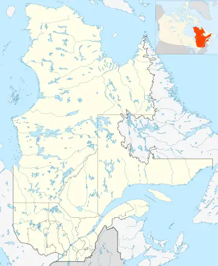
| Map | |||||||||||||||
 CYZV | |||||||||||||||
| Runways | |||||||||||||||
| |||||||||||||||
| Statistics (2010/2011) | |||||||||||||||
| |||||||||||||||
Sources: Canada Flight Supplement[1] Environment Canada[2] Movements from Statistics Canada[3] Passenger numbers from Statistics Canada[4] | |||||||||||||||

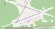
Map of the airport
Sept-Îles Airport (IATA: YZV, ICAO: CYZV) is situated 4.5 nautical miles (8.3 km; 5.2 mi) east of the town of Sept-Îles, Quebec, Canada.
The airport is classified as an airport of entry by Nav Canada and is staffed by the Canada Border Services Agency (CBSA) on a call-out basis from the Quebec City Jean Lesage International Airport. CBSA officers at this airport can handle general aviation aircraft only, with no more than fifteen passengers.[1]
Airlines and destinations
See also
References
- 1 2 Canada Flight Supplement. Effective 0901Z 16 July 2020 to 0901Z 10 September 2020.
- ↑ Synoptic/Metstat Station Information
- ↑ Total aircraft movements by class of operation — NAV CANADA flight service stations
- ↑ Passengers enplaned and deplaned on selected services — Top 50 airports - 2010
External links
- Past three hours METARs, SPECI and current TAFs for Sept-Îles Airport from Nav Canada as available.
This article is issued from Wikipedia. The text is licensed under Creative Commons - Attribution - Sharealike. Additional terms may apply for the media files.