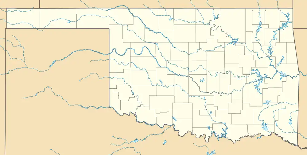
| Sequoyah Bay State Park | |
|---|---|
 | |
| Location | Wagoner County, Oklahoma, United States |
| Nearest city | Wagoner, OK |
| Coordinates | 35°53′13″N 95°16′22″W / 35.886944°N 95.272778°W |
| Area | 303 acres (123 ha) |
| Visitors | 96,100 (in 2021)[1] |
| Governing body | Oklahoma Tourism and Recreation Department |
| www | |
Sequoyah Bay State Park is on the western shore of Fort Gibson Lake in Wagoner County, Oklahoma. It is 4.3 miles (6.9 km) south of Wagoner, Oklahoma on State Highway 16. It offers several campgrounds, each named for a notable chief of the Five Civilized Tribes. These include: Chief Attacullaculla, Cherokee; Chief Pushmataha, Choctaw; Chief Osceola, Seminole; Chief Opothleyahola, Creek; and Chief Payamataha, Chickasaw.[2][3]
The park contains 303 acres (123 ha) and 367 sites for recreational vehicles or tents.[4]
References
- ↑ "Evaluation of Oklahoma's State Parks". Oklahoma Legislative Office of Fiscal Transparency (LOFT). March 31, 2022.
- ↑ "Sequoyah Bay State Park". Oklahoma Campers.
- ↑ "Sequoyah Bay State Park". Oklahoma Tourism and Recreation Department. Retrieved January 6, 2013.
- ↑ "Sequoyah Bay State Park". Sequoyah Bay Marina.
This article is issued from Wikipedia. The text is licensed under Creative Commons - Attribution - Sharealike. Additional terms may apply for the media files.