Sfaray
صفاريه | |
|---|---|
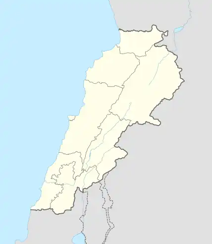
 Sfaray Location in Lebanon | |
| Coordinates: 33°33′17″N 35°29′38″E / 33.55472°N 35.49389°E | |
| Country | |
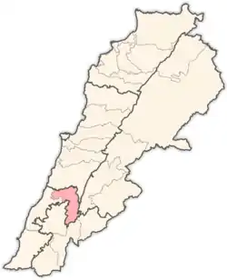
| Governorate | South Governorate |
| District | Jezzine District |
| Area | |
| • Total | 1.78 sq mi (4.61 km2) |
| Elevation | 1,710 ft (520 m) |
| Time zone | UTC+2 (EET) |
| • Summer (DST) | +3 |
Sfaray (Arabic: صفاريه) is a village in the Jezzine District of the South Governorate of Lebanon, about 53 km south of Beirut.[1]
History
In 1838, Eli Smith noted Sufareih, as a village located in "Aklim et-Tuffah, adjacent to Seida".[2]
References
Bibliography
External links
- Sfaray, localiban
This article is issued from Wikipedia. The text is licensed under Creative Commons - Attribution - Sharealike. Additional terms may apply for the media files.
