Shahpur
શાહપુર Santokpura | |
|---|---|
Village | |
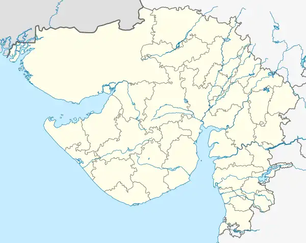
 Shahpur Location in Gujarat, India  Shahpur Shahpur (India) | |
| Coordinates: 23°55′33″N 72°34′24″E / 23.92588°N 72.57336°E | |
| Country | |
| State | Gujarat |
| District | Mehsana |
| Taluka | Kheralu |
| Government | |
| • Type | Gram Panchyat |
| • Body | Gram Panchyat |
| Population (2011)[1] | |
| • Total | 456 |
| Languages | |
| • Official | Gujarati, Hindi |
| Time zone | UTC+5:30 (IST) |
| PIN | 384325 |
| Telephone code | 02761 |
| Vehicle registration | GJ-2- |
Shahpur, also known as Santokpura, is a village in Kheralu Taluka in Mahesana district of Gujarat, India. The village is located in the western part of India, near the northern border of Mahesana district.
As of the 2011 census, Shahpur had a population of 456 in 95 households.[1]
References
- 1 2 "View Population". Office of the Registrar General & Census Commissioner, India. Retrieved 22 October 2020.
This article is issued from Wikipedia. The text is licensed under Creative Commons - Attribution - Sharealike. Additional terms may apply for the media files.