Shaqlawa District
قەزای شەقڵاوە | |
|---|---|
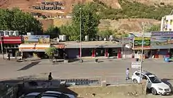 View of the Main Street in Shaqlawa | |
 Shaqlawa District 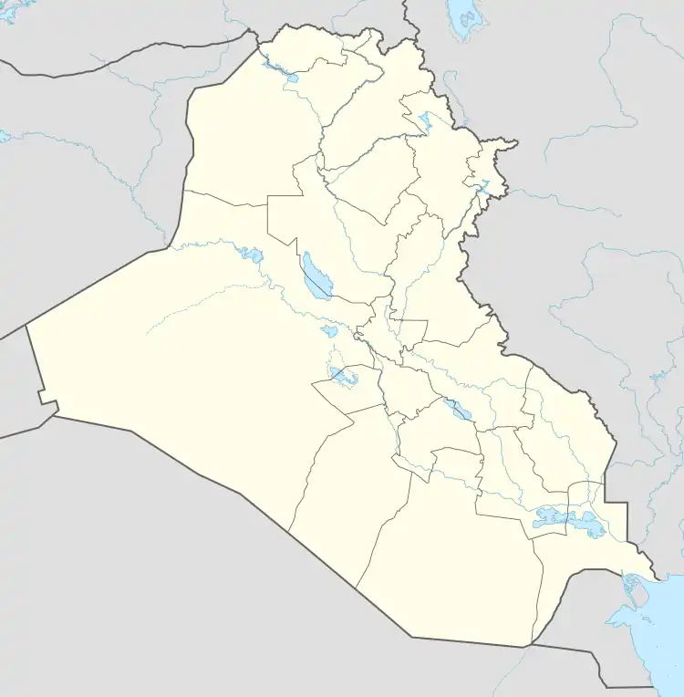 Shaqlawa District | |
| Coordinates: 36°23′48″N 44°20′39″E / 36.3967°N 44.3443°E | |
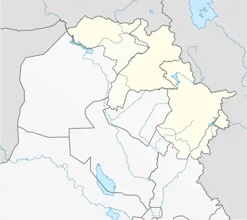
| Country | |
| Autonomous region | |
| Governorate | Erbil Governorate |
| Seat | Shaqlawa |
| Time zone | UTC+3 (AST) |
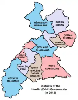
Districts of the Arbil Governorate (in 2012) according to Kurdistan Region Statistics Office web site.
Shaqlawa District (Kurdish: قەزای شەقڵاوە, romanized: Qezay Şeqlawe, Arabic: قضاء شقلاوة) is a district in the Erbil Governorate, Iraq. This district encompasses three sub-districts Hiran, Salahaddin and Harir, and 210 villages. It lies 50 km from the city of Erbil.[1][2]
References
- ↑ "Erbil Governorate | محافظة اربيل | پارێزگای ههولێر". www.erbil.gov.krd. Archived from the original on 2016-01-26.
- ↑ "محافظة اربيل". www.mesopot.com. Archived from the original on 2010-05-07.
This article is issued from Wikipedia. The text is licensed under Creative Commons - Attribution - Sharealike. Additional terms may apply for the media files.