| Shelford | |
|---|---|
 View of Shelford, taken from Gibbet Hill | |
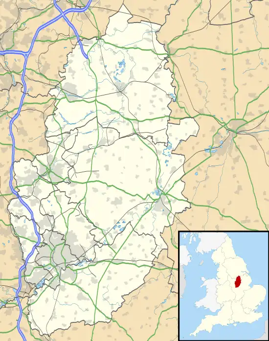 Shelford Location within Nottinghamshire | |
| Population | 673 (2011 Census) |
| District | |
| Shire county | |
| Region | |
| Country | England |
| Sovereign state | United Kingdom |
| Post town | NOTTINGHAM |
| Postcode district | NG12 |
| Police | Nottinghamshire |
| Fire | Nottinghamshire |
| Ambulance | East Midlands |
| UK Parliament | |

Shelford is a village and civil parish in the Rushcliffe borough of Nottinghamshire. The population of the former civil parish of Shelford and Newton at the 2011 census was 673.[1] It is near Radcliffe on Trent. It has an old manor house (built on the site of Shelford Priory), a church, a caravan park and bar. It also has a pub restaurant, The Earl of Chesterfield Arms.
Several small farms operate in the village, engaging in arable and livestock farming, with much of the harvesting being contracted out to outside companies.
Toponymy
Shelford contains the Old English word scelde for shallowness; perhaps also a shallow place, + ford (Old English), a ford, so "Shallow ford".[2]
History
It was the location of Shelford Priory, a former Augustinian house. The priory was founded by Ralph Haunselyn around 1160–80 and dissolved in 1536.
The village was the scene of a battle in the English Civil War when the Royalist garrison of Shelford Manor was taken on 3 November 1645.[3] A re-enactment of this battle takes place periodically by the Sealed Knot, a civil war re-enactment society. Held over a weekend, the activities centre upon West and Church Streets, the church and finally the manor house.
Geography
On the floor of the Trent Valley, Shelford is protected from flooding by flood protection controls. This renders the probability of flooding very low. Even in the floods of 2000, the rising waters did not impinge upon the housing in the village.
Events
Every second year the village hosts a feast weekend, which features a street market, events and other activities, centred on the church and village hall. This event is attended by both villagers and visitors from nearby towns and villages. Over the weekend some houses open their gardens for a small donation to charity.
Transport
The village had a ferry which ran between Shelford and Stoke Bardolph, but this has long since disappeared. The wooden structure tethering the rope for pulling the ferry can still be seen today at the end of Stoke Ferry Lane.
The vernacular of the village is red brick and red pantile, with the "important" buildings under slate.
See also
References
- ↑ "Civil parish population 2011". Neighbourhood Statistics. Office for National Statistics. Retrieved 13 April 2016.
- ↑ J. Gover, A. Mawer & F. M. Stenton (eds.), Place Names of Nottinghamshire (Cambridge, 1940), p.241; A. D. Mills, Dictionary of English Place-Names (Oxford, 2002), p.308; E. Ekwall, Concise Oxford Dictionary of English Place-names (Oxford, 1960), p.415
- ↑ C. Brown, A History of Nottinghamshire (1896), pp.77-9