Sherwood, Mississippi | |
|---|---|
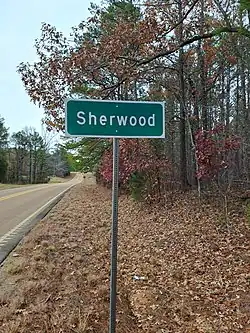 | |
 Sherwood  Sherwood | |
| Coordinates: 33°29′16″N 89°08′02″W / 33.48778°N 89.13389°W | |
| Country | United States |
| State | Mississippi |
| County | Choctaw |
| Elevation | 486 ft (148 m) |
| Time zone | UTC-6 (Central (CST)) |
| • Summer (DST) | UTC-5 (CDT) |
| ZIP code | 39750 |
| Area code | 662 |
| GNIS feature ID | 676586[1] |
Sherwood is an unincorporated community located in Choctaw County, Mississippi, United States, along Mississippi Highway 15 and is approximately 3 miles (4.8 km) south of Mathiston and 4 miles (6.4 km) north of Reform.
References
Municipalities and communities of Choctaw County, Mississippi, United States | ||
|---|---|---|
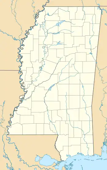
| Towns | 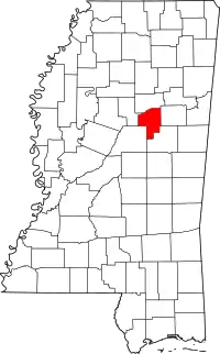 Map of Mississippi highlighting Choctaw County | |
| Unincorporated communities | ||
| Ghost towns | ||
| Footnotes | ‡This populated place also has portions in an adjacent county or counties | |
This article is issued from Wikipedia. The text is licensed under Creative Commons - Attribution - Sharealike. Additional terms may apply for the media files.