Shyamsundarpur | |
|---|---|
Village | |
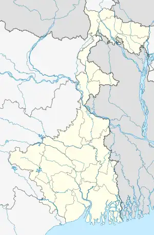 Shyamsundarpur Location in West Bengal, India 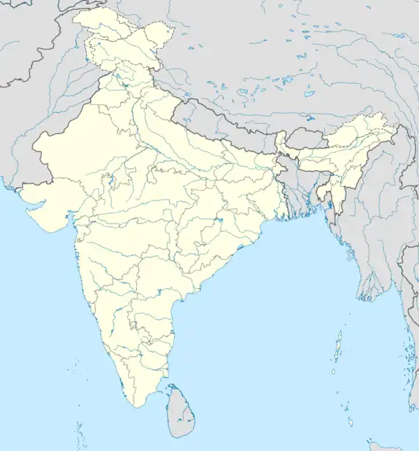 Shyamsundarpur Shyamsundarpur (India) | |
| Coordinates: 23°39′21″N 87°15′45″E / 23.655806°N 87.262611°E | |
| Country | |
| State | West Bengal |
| District | Paschim Bardhaman |
| Population (2011) | |
| • Total | 6,273 |
| Languages* | |
| • Official | Bengali, Hindi, English |
| Time zone | UTC+5:30 (IST) |
| PIN | 7133141 |
| Telephone/ STD code | 0341 |
| Vehicle registration | WB |
| Lok Sabha constituency | Asansol |
| Vidhan Sabha constituency | Pandaveswar |
| Website | paschimbardhaman |
Shyamsundarpur is a village in the Faridpur Durgapur CD block in the Durgapur subdivision of the Paschim Bardhaman district in the Indian state of West Bengal.
Geography
MC: Municipal Corporation, CT: census town, R: rural administrative centre
Owing to space constraints in the small map, the actual locations in a larger map may vary slightly
Location
Shyamsundarpur is located at 23°39′21″N 87°15′45″E / 23.655806°N 87.262611°E.
Urbanisation
According to the 2011 census, 79.22% of the population of the Durgapur subdivision was urban and 20.78% was rural. The Durgapur subdivision has 1 municipal corporation at Durgapur and 38 (+1 partly) census towns (partly presented in the map alongside; all places marked on the map are linked in the full-screen map).[1]
Demographics
According to the 2011 Census of India, Shyamsundarpur had a total population of 6,273, of which 3,235 (52%) were males and 3,038 (48%) were females. Population in the age range 0–6 years was 697. The total number of literate persons in Shyamsundarpur was 3.930 (70.48% of the population over 6 years).[2]
*For language details see Faridpur Durgapur#Language and religion
Economy
According to the ECL website telephone numbers, operational collieries in the Bankola Area of Eastern Coalfields in 2018 are: Bankola Colliery, Khandra Colliery, Kumardih A Colliery, Kumardih B Colliery, Moira Colliery, Nakrakonda Colliery, Shankarpur Colliery, Shyamsundarpur Colliery and Tilaboni Colliery.[3]
Healthcare
Medical facilities (periodic medical examination centres and dispensaries) in the Bankola Area of ECL are available at Bankola Area PME Centre (with 30 beds + 2 cabins) (PO Ukhra), Khandra (PO Khandra), Bankola Colliery (PO Khandra), Bankola Area (PO Khandra), Shyamsundarpur (PO Khandra), Mahira (PO Moira), Tilaboni (PO Pandabeswar), Nakrakonda (PO Pandabeswar), Shankarpur (PO Sheetalpur), Kumardihi A (PO Pandabeswar), Kumardihi B (PO Pandabeswar).[4]
References
- ↑ "District Statistical Handbook 2014 Burdwan". Table 2.2, 2.4(a). Department of Statistics and Programme Implementation, Government of West Bengal. Archived from the original on 21 January 2019. Retrieved 15 September 2018.
- ↑ "2011 Census – Primary Census Abstract Data Tables". West Bengal – District-wise. Registrar General and Census Commissioner, India. Retrieved 11 June 2020.
- ↑ "Area wise Clsed User Group (CUG) Telephone Numbers" (PDF). Bankola Area. Eastern Coalfields Limited. Retrieved 11 June 2020.
- ↑ "Details of medical facilities in CIL and its subsidiaries". ECL. CIL. Retrieved 11 June 2020.
Cities, towns and locations in Paschim Bardhaman district, Burdwan division | |||||
|---|---|---|---|---|---|
| Cities, municipal and census towns |  Divisions of West Bengal | ||||
| Locations other than cities and towns |
| ||||
| Neighbourhoods in Asansol |
| ||||
| Related topics |
| ||||