| Silvrettahorn | |
|---|---|
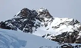 View from the south-east | |
| Highest point | |
| Elevation | 3,244 m (10,643 ft) |
| Prominence | 205 m (673 ft)[1] |
| Parent peak | Piz Buin |
| Isolation | 2.3 km (1.4 mi) |
| Coordinates | 46°51′25″N 10°05′35″E / 46.85694°N 10.09306°E |
| Geography | |
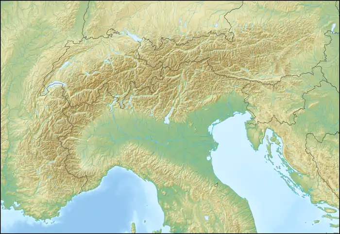 Silvrettahorn Location in the Alps 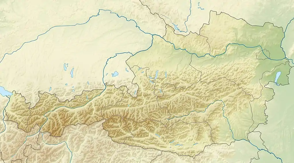 Silvrettahorn Location in Austria 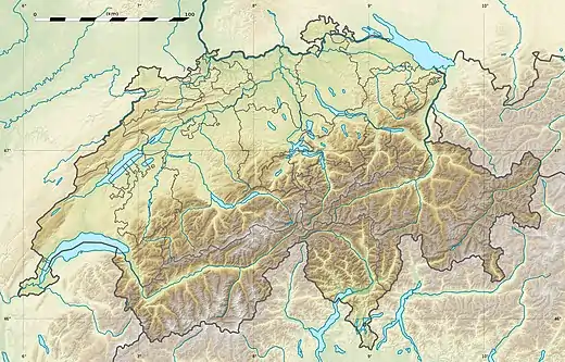 Silvrettahorn Location in Switzerland | |
| Location | Vorarlberg, Austria Graubünden, Switzerland |
| Parent range | Silvretta Alps |
| Climbing | |
| First ascent | 22 August 1865 by Jules Jacot, guided by Christian Jegen and A. Schlegel |
The Silvrettahorn is a mountain of the Silvretta Alps, located on the border between Switzerland and Austria. On its southern Swiss side it overlooks the Silvretta Glacier.
References
External links
Wikimedia Commons has media related to Silvrettahorn.
This article is issued from Wikipedia. The text is licensed under Creative Commons - Attribution - Sharealike. Additional terms may apply for the media files.