Singapur | |
|---|---|
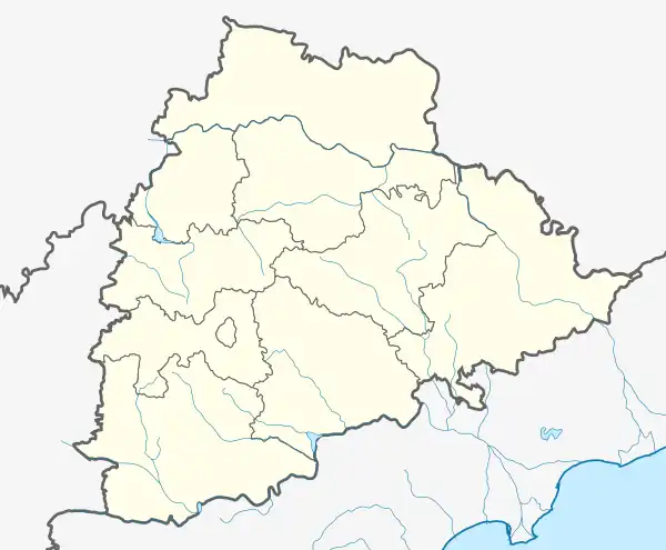 Singapur Location in Telangana, India  Singapur Singapur (India) | |
| Coordinates: 18°51′50″N 79°29′31″E / 18.86391°N 79.49183°E | |
| Country | |
| State | Telangana |
| District | Mancherial |
| • Rank | 11.42 |
| Elevation | 576 m (1,890 ft) |
| Population (2011)[1] | |
| • Total | 20,061 |
| Languages | |
| • Official | Telugu |
| Time zone | UTC+5:30 (IST) |
Singapur is a census town in Mancherial district in the Indian state of Telangana.[1]
Geography
Singapur is located at 18°51′50″N 79°29′31″E / 18.86391°N 79.49183°E.[2]
Demographics
As of 2001 India census,[3] Singapur had a population of 23,458. Males constitute 51% of the population and females 49%. Singapur has an average literacy rate of 55%, lower than the national average of 59.5%: male literacy is 62%, and female literacy is 48%. In Singapur, 11% of the population is under 6 years of age.
References
- 1 2
- ↑ "Singapur Pin Code, Singapur , Adilabad Map , Latitude and Longitude , Andhra Pradesh".
- ↑ "Census of India 2001: Data from the 2001 Census, including cities, villages and towns (Provisional)". Census Commission of India. Archived from the original on 16 June 2004. Retrieved 1 November 2008.
This article is issued from Wikipedia. The text is licensed under Creative Commons - Attribution - Sharealike. Additional terms may apply for the media files.