Sinlamaung | |
|---|---|
Village | |
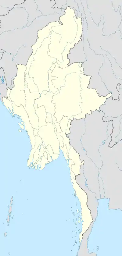 Sinlamaung Location in Burma | |
| Coordinates: 24°29′N 95°13′E / 24.483°N 95.217°E | |
| Country | |
| Region | Sagaing Region |
| District | Hkamti District |
| Township | Homalin Township |
| Time zone | UTC+6.30 (MST) |
Sinlamaung is a river village in Homalin Township, Hkamti District, in the Sagaing Region of northwestern Burma. It is located southwest of Hkonsa.[1][2] A Japanese garrison was stationed at Sinlamaung during World War II.[3]
References
- ↑ Google Maps (Map). Google.
- ↑ Bing Maps (Map). Microsoft and Harris Corporation Earthstar Geographics LLC.
- ↑ Sykes, Christopher (1959). Orde Wingate, a biography. World Pub. Co. p. 394.
External links

This article is issued from Wikipedia. The text is licensed under Creative Commons - Attribution - Sharealike. Additional terms may apply for the media files.