Sir Bani Yas Airport Yas Airport | |||||||||||
|---|---|---|---|---|---|---|---|---|---|---|---|
 | |||||||||||
| Summary | |||||||||||
| Airport type | Public | ||||||||||
| Serves | Sir Bani Yas Island | ||||||||||
| Focus city for | |||||||||||
| Elevation AMSL | 10 ft / 3 m | ||||||||||
| Coordinates | 24°17′00″N 52°35′00″E / 24.28333°N 52.58333°E | ||||||||||
| Map | |||||||||||
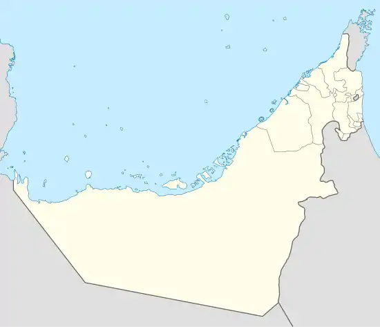 OMBY Location of the airport in United Arab Emirates | |||||||||||
| Runways | |||||||||||
| |||||||||||
Source: Google Maps[1] | |||||||||||
Sir Bani Yas Airport (IATA: XSB, ICAO: OMBY) is an airport serving Sir Bani Yas Island in the United Arab Emirates. It has a single paved runway, not lighted, and 8,760’ long.[2]
Airlines And Destinations
| Airlines | Destinations |
|---|---|
| Rotana Jet | Abu Dhabi |
See also
References
- ↑ Google Maps - Sir Bani Yas
- ↑ "Runways at Sir Bani Yas Airport". OurAirports.com. Retrieved December 7, 2023.
External links
This article is issued from Wikipedia. The text is licensed under Creative Commons - Attribution - Sharealike. Additional terms may apply for the media files.