Skärholmen | |
|---|---|
 | |
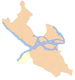
 Location within Stockholm | |
| Coordinates: 59°16′37″N 17°54′18″E / 59.277°N 17.905°E | |
| Country | |
| Municipality | Stockholm |
| Municipal part | Söderort |
| Established | 1997 |
| Area | |
| • Total | 8.86 km2 (3.42 sq mi) |
| Population (2014) | |
| • Total | 35,740 |
| • Density | 4,000/km2 (10,000/sq mi) |
| Website | Skärholmen on stockholm.se |
Skärholmen is a borough (stadsdelsområde) of Söderort in the southern part of Stockholm. [1]
Overview
It is primarily made up of Skärholmen parish. The districts that make up the borough are Bredäng, Skärholmen, Sätra and Vårberg. The population as of 2004 is 33,662 on an area of 8.86 km², which gives a density of 3,800/km².
References
- ↑ "Skärholmens stadsdelsförvaltning". Stockholms Stad. Retrieved February 1, 2020.
External links
![]() Media related to Skärholmen at Wikimedia Commons
Media related to Skärholmen at Wikimedia Commons
This article is issued from Wikipedia. The text is licensed under Creative Commons - Attribution - Sharealike. Additional terms may apply for the media files.