| Skuta Glacier | |
|---|---|
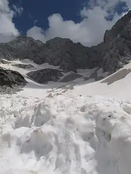 Skuta Glacier and its snow fields in summer of 2014. | |
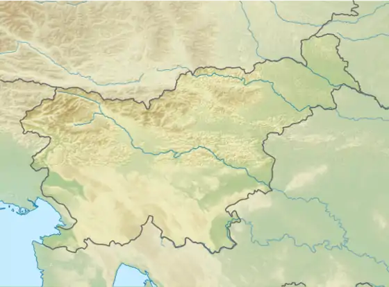 Skuta Glacier Location in Slovenia 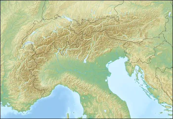 Skuta Glacier Skuta Glacier (Alps) | |
| Type | Mountain glacier |
| Location | mountain Skuta in Kamnik-Savinja Alps in Slovenia |
| Coordinates | 46°21′54.97″N 14°33′36.36″E / 46.3652694°N 14.5601000°E |
| Area | 1.7 ha (4.2 acres) |
| Status | Retreating |
Skuta Glacier (Slovenian: Ledenik pod Skuto), located beneath mountain Skuta in Kamnik-Savinja Alps in Slovenia is the most south-eastern glacier in the Alps.
Geography
Skuta Glacier had an area of 2.8 hectares (6.9 acres) in 1950 and 1.7 hectares (4.2 acres) in 2013.[1] Reaching 2,020 metres (6,630 ft) above sea level at its lowest point, it is also one of the lowest elevation glaciers in the Alps.[2]
Triglav glacieret is the second remaining glacier in Slovenia at the elevation of 2500 m.
Skuta Glacier in figures
- Area: 1.7 hectares (4.2 acres) (as of 2007)[1]
- Elevation: 2,020–2,120 m (6,630–6,960 ft)[1]
- Average ice thickness: 7 m (23 ft) (as of September 2006)[1]
- Maximum ice thickness: 12 m (39 ft) (as of September 2006)[1]
- Volume: 80,000 m3 (2,800,000 cu ft) (as of September 2006)[1]
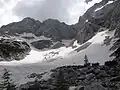 Snow fields beneath the glacier
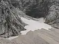 Snow fields around the Skuta Glacier
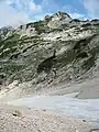 Snow fields beneath the Skuta Glacier
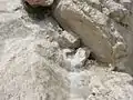 The glacier gives birth to the small stream
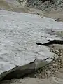 Glacier snow
 Chamois passing the glacier
References
- 1 2 3 4 5 6 "Domov | ZRC SAZU". giam.zrc-sazu.si. Archived from the original on 2014-01-11.
- ↑ "Triglavski ledenik izginja počasneje od napovedi". October 2013.
This article is issued from Wikipedia. The text is licensed under Creative Commons - Attribution - Sharealike. Additional terms may apply for the media files.