| Skwentna River | |
|---|---|
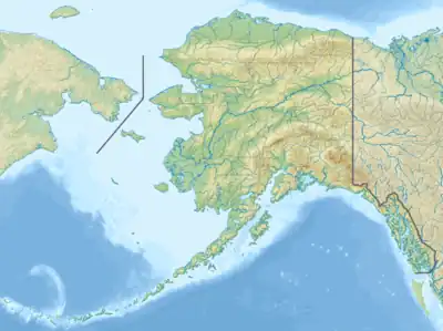 Location of the mouth of the Skwentna River in Alaska | |
| Native name | Shqitnu (Tanaina) |
| Location | |
| Country | United States |
| State | Alaska |
| Borough | Matanuska-Susitna |
| Physical characteristics | |
| Source | |
| • coordinates | 61°25′57″N 152°40′47″W / 61.43250°N 152.67972°W[1] South Twin Glacier |
| • elevation | 3,500 ft (1,100 m)[2] |
| Mouth | |
• coordinates | 61°59′8″N 151°8′23″W / 61.98556°N 151.13972°W[1] Yentna River |
• elevation | 125 ft (38 m)[1] |
| Length | 100 mi (160 km)[1] |
The Skwentna River[3] (Dena'ina: Shqitnu) is a river in the southwestern part of Matanuska-Susitna Borough, Alaska.
History
Tanaina Indian name reported in 1898 by Spurr (1900,p. 48), USGS, as "Skwent River."[1]
Watershed
Heads at South Twin Glacier at 61°26′00″N 152°41′00″W / 61.43333°N 152.68333°W, flows North and East to Yentna River, 63 miles (101 km) North of Tyonek, Alaska Cook Inlet Low.[1]
Tributaries
See also
References
This article is issued from Wikipedia. The text is licensed under Creative Commons - Attribution - Sharealike. Additional terms may apply for the media files.