| Snell Valley | |
|---|---|
 Snell Valley during July with Snell Peak in background | |
 Snell Valley Northern Napa County, California | |
| Floor elevation | 582 ft (177 m) |
| Length | 2.3 mi (3.7 km) |
| Geography | |
| Coordinates | 38°41′55″N 122°24′11″W / 38.6986°N 122.403°W |
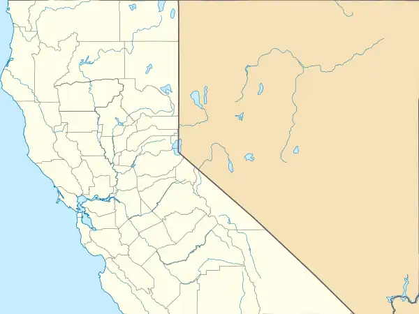
Snell Valley is a depression landform in Napa County, California.[1] This feature is located approximately five miles north of Aetna Springs. The valley is noted for its diversity of wildflowers, and within Snell Valley is the Missimer Wildflower Preserve. An example of wildflowers in Snell Valley is Gold Nuggets, Calochortus luteus.[2]

History
Snell Valley was part of Rancho Guenoc when it was deeded as part of a Mexican land grant in 1845. It is assumed that the valley is named after George and Hiram Snell, two brothers from Germany, who were documented as residents of the Guenoc Rancho in 1857.[3]
In August 2020, Snell Valley was evacuated due to the Hennessey Fire, which burned of over 315,000 acres (127,476 ha) in five counties, including in Snell Valley.[4]
See also
Line notes
- ↑ David L. Durham. 2001
- ↑ C. Michael Hogan. 2009
- ↑ "You Can't Get There from Here…". Napa County Historical Society. Retrieved 2017-05-07.
- ↑ "Hennessey Fire Information". CAL FIRE. Retrieved 17 August 2020.
References
- David L. Durham. 2001. Durham's place names of California's old wine country, page 65
- C. Michael Hogan. 2009. Yellow Mariposa Lily: Calochortus luteus, GlobalTwitcher.com, ed. N. Stromberg
38°41′55″N 122°24′12″W / 38.69861°N 122.40333°W