Sokilnyky
Сокільники | |
|---|---|
 Sokilnyky Location of Sokilnykywithin Ukraine  Sokilnyky Sokilnyky (Ukraine) | |
| Coordinates: 48°44′46″N 38°52′07″E / 48.746111°N 38.868611°E | |
| Country | |
| Province | |
| District | Sievierodonetsk Raion |
| Founded | 1764 |
| Area | |
| • Total | 2.76 km2 (1.07 sq mi) |
| Elevation | 73 m (240 ft) |
| Population | |
| • Total | 373 |
| • Density | 140/km2 (350/sq mi) |
| Time zone | UTC+2 (EET) |
| • Summer (DST) | UTC+3 (EEST) |
| Postal code | 93713 |
| Area code | +380 6473 |
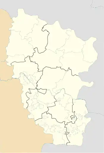
Sokilnyky (Ukrainian: Сокільники; Russian: Сокольники) is a village in Sievierodonetsk Raion (district) in Luhansk Oblast of eastern Ukraine, at about 30.0 km NW from the centre of Luhansk city.
The settlement was taken under control of pro-Russian forces during the War in Donbass, that started in 2014.[2]
Demographics
In 2001 the settlement had 377 inhabitants. Native language distribution as of the Ukrainian Census of 2001:[1]
- Ukrainian: 19.63%
- Russian: 80.37%
References
- 1 2 "All-Ukrainian population census". db.ukrcensus.gov.ua. State Statistics Service of Ukraine. Retrieved 18 October 2023.
- ↑ "На Луганщине два поселка оказались под контролем боевиков, что противоречит Минским соглашениям". Information Resistance. 20 July 2015. Retrieved 20 July 2015.
This article is issued from Wikipedia. The text is licensed under Creative Commons - Attribution - Sharealike. Additional terms may apply for the media files.