| Solin | |
|---|---|
 | |
 | |
  | |
| Location | |
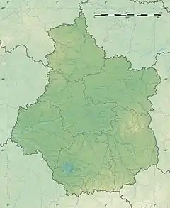
| Country | France |
| Physical characteristics | |
| Source | |
| • location | Le Moulinet-sur-Solin |
| • coordinates | 47°48′42″N 02°37′07″E / 47.81167°N 2.61861°E |
| Mouth | |
• location | Loing |
• coordinates | 48°01′33″N 02°43′23″E / 48.02583°N 2.72306°E |
| Length | 32.5 km (20.2 mi) |
| Basin features | |
| Progression | Loing→ Seine→ English Channel |
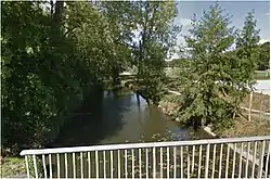
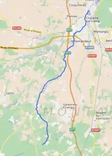
The Solin is a 32.5-kilometre (20.2 mi) long river in the Loiret department in north-central France.[1] Its source is at Le Moulinet-sur-Solin, 2 kilometres (1.2 mi) south of the village. It flows generally north-northeast. It is a left tributary of the Loing, into which it flows at Châlette-sur-Loing.
Communes along its course
This list is ordered from source to mouth:
References
This article is issued from Wikipedia. The text is licensed under Creative Commons - Attribution - Sharealike. Additional terms may apply for the media files.