South Andros Airport Congo Town Airport | |||||||||||
|---|---|---|---|---|---|---|---|---|---|---|---|
| Summary | |||||||||||
| Airport type | Public | ||||||||||
| Operator | Government | ||||||||||
| Serves | Congo Town, Andros Island, Bahamas | ||||||||||
| Elevation AMSL | 15 ft / 5 m | ||||||||||
| Coordinates | 24°09′32″N 077°35′23″W / 24.15889°N 77.58972°W | ||||||||||
| Map | |||||||||||
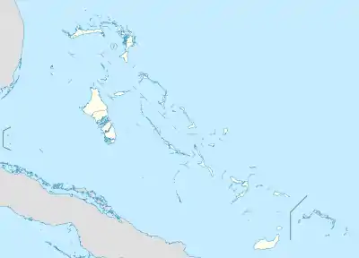 MYAF Location in The Bahamas | |||||||||||
| Runways | |||||||||||
| |||||||||||
South Andros Airport (IATA: TZN, ICAO: MYAK) is an airport near Congo Town in South Andros, part of Andros Island in The Bahamas.[2] It is also known as Congo Town Airport (IATA: COX).[3]
Facilities
The airport resides at an elevation of 15 ft (4.6 m) above mean sea level. It has one runway designated 10/28 with an asphalt surface measuring 1,623 m × 30 m (5,325 ft × 98 ft).[1]
Airlines and destinations
| Airlines | Destinations |
|---|---|
| Western Air | Nassau |
References
- 1 2 "Airport information for MYAK". World Aero Data. Archived from the original on 2019-03-05.
{{cite web}}: CS1 maint: unfit URL (link) Data current as of October 2006. Source: DAFIF. - 1 2 Airport information for COX at Great Circle Mapper. Source: DAFIF (effective October 2006).
- ↑ Airport information for COX at Great Circle Mapper.
External links
This article is issued from Wikipedia. The text is licensed under Creative Commons - Attribution - Sharealike. Additional terms may apply for the media files.