| Dandenong South Melbourne, Victoria | |||||||||||||||
|---|---|---|---|---|---|---|---|---|---|---|---|---|---|---|---|
 | |||||||||||||||
 Dandenong South | |||||||||||||||
| Coordinates | 38°01′52″S 145°12′54″E / 38.031°S 145.215°E | ||||||||||||||
| Population | 125 (2021 census)[1] | ||||||||||||||
| • Density | 21.93/km2 (56.8/sq mi) | ||||||||||||||
| Postcode(s) | 3175 | ||||||||||||||
| Area | 5.7 km2 (2.2 sq mi) | ||||||||||||||
| Location | |||||||||||||||
| LGA(s) | City of Greater Dandenong | ||||||||||||||
| State electorate(s) | |||||||||||||||
| Federal division(s) | Isaacs | ||||||||||||||
| |||||||||||||||
| |||||||||||||||
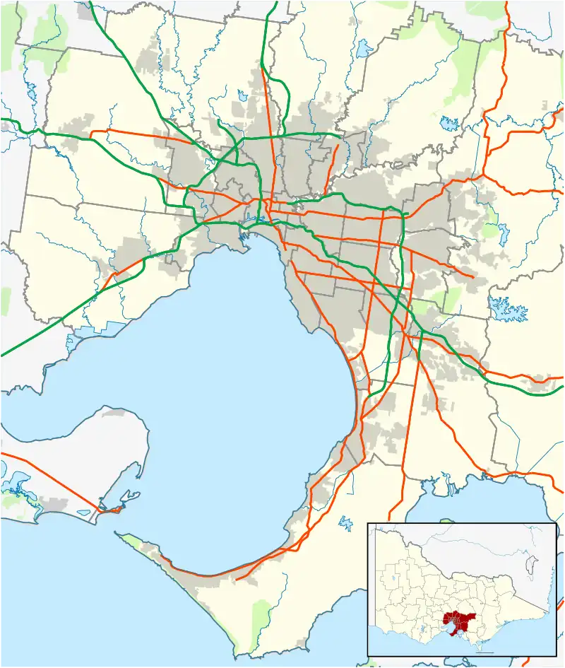
Dandenong South is a suburb in Melbourne, Victoria, Australia, 31 km south-east of Melbourne's Central Business District, located within the City of Greater Dandenong local government area. Dandenong South recorded a population of 125 at the 2021 census.[1]
Dandenong South is a primarily industrialised suburb that borders Hallam and the City of Casey region. The suburb contains the closed General Motors railway station.
Dandenong South is home to A Company of the Australian Army Reserve unit, 5th/6th Battalion, Royal Victoria Regiment and DefendTex.
See also
- City of Cranbourne – Parts of Dandenong South were previously within this former local government area.
- City of Dandenong – Parts of Dandenong South were previously within this former local government area.
References
- 1 2 Australian Bureau of Statistics (28 June 2022). "Dandenong South (Suburbs and Localities)". 2021 Census QuickStats. Retrieved 13 July 2022.
This article is issued from Wikipedia. The text is licensed under Creative Commons - Attribution - Sharealike. Additional terms may apply for the media files.