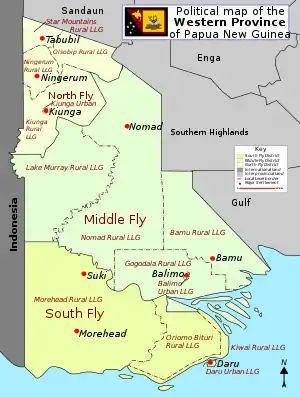
South Fly District | |
|---|---|
 Oblique aerial photograph in South Fly District | |
 | |
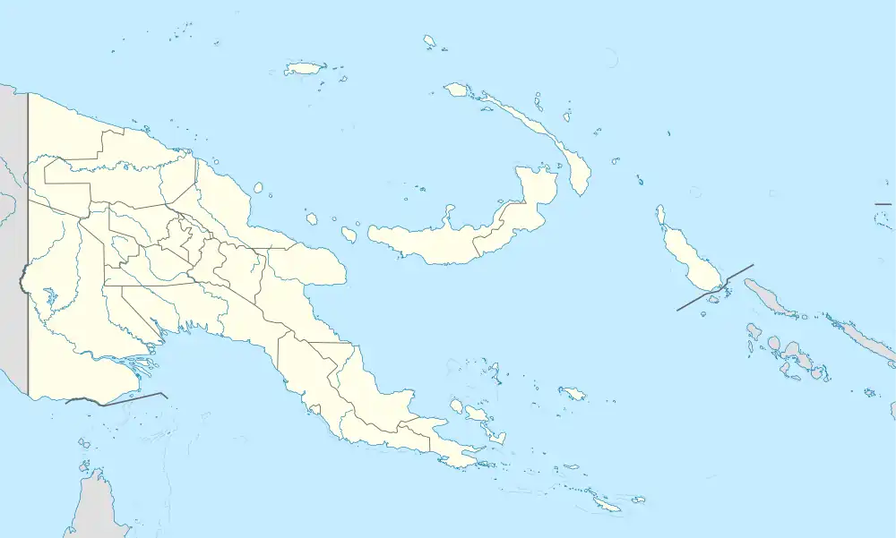 South Fly District Location within Papua New Guinea | |
| Coordinates: 8°41′S 142°14′E / 8.683°S 142.233°E | |
| Country | Papua New Guinea |
| Province | Western Province |
| Capital | Daru |
| Area | |
| • Total | 31,864 km2 (12,303 sq mi) |
| Population (2011 census) | |
| • Total | 59,152 |
| • Density | 1.9/km2 (4.8/sq mi) |
| Time zone | UTC+10 (AEST) |
South Fly District is a district of the Western Province of Papua New Guinea. Its capital is Daru. The area of the district is 31,864 km²,[1] with a population of 46,407 at the 2000 census.[2]
The district is administratively subdivided into four Local Level Government Areas:
References
- ↑ Version Profiles Report 140410.pdf
- ↑ Districts of Papua New Guinea at statoids.com
8°41′24″S 142°13′48″E / 8.69000°S 142.23000°E
This article is issued from Wikipedia. The text is licensed under Creative Commons - Attribution - Sharealike. Additional terms may apply for the media files.