Spangdahlem | |
|---|---|
 | |
 Coat of arms | |
Location of Spangdahlem within Eifelkreis Bitburg-Prüm district  | |
 Spangdahlem 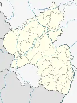 Spangdahlem | |
| Coordinates: 49°59′11″N 06°40′50″E / 49.98639°N 6.68056°E | |
| Country | Germany |
| State | Rhineland-Palatinate |
| District | Eifelkreis Bitburg-Prüm |
| Municipal assoc. | Speicher |
| Government | |
| • Mayor (2019–24) | Alois Gerten[1] |
| Area | |
| • Total | 13.44 km2 (5.19 sq mi) |
| Elevation | 305 m (1,001 ft) |
| Population (2021-12-31)[2] | |
| • Total | 1,025 |
| • Density | 76/km2 (200/sq mi) |
| Time zone | UTC+01:00 (CET) |
| • Summer (DST) | UTC+02:00 (CEST) |
| Postal codes | 54529 |
| Dialling codes | 06565 |
| Vehicle registration | BIT |
| Website | Spangdahlem at site www.vg-speicher.de |
Spangdahlem is a municipality in the district of Bitburg-Prüm, in Rhineland-Palatinate, western Germany. It is part of the Verbandsgemeinde Speicher. The USAF Spangdahlem Air Base is nearby.
Spang village is on one side of the Spanger brook while Dahlem is on the other side.
References
- ↑ Direktwahlen 2019, Eifelkreis Bitburg-Prüm, Landeswahlleiter Rheinland-Pfalz, accessed 6 August 2021.
- ↑ "Bevölkerungsstand 2021, Kreise, Gemeinden, Verbandsgemeinden" (in German). Statistisches Landesamt Rheinland-Pfalz. 2022.
This article is issued from Wikipedia. The text is licensed under Creative Commons - Attribution - Sharealike. Additional terms may apply for the media files.