Spring Bluff, Missouri | |
|---|---|
 Spring Bluff | |
| Coordinates: 38°17′44″N 91°14′17″W / 38.29556°N 91.23806°W | |
| Country | United States |
| State | Missouri |
| County | Franklin |
| Elevation | 909 ft (277 m) |
| Time zone | UTC-6 (Central (CST)) |
| • Summer (DST) | UTC-5 (CDT) |
| Area code | 573 |
| GNIS feature ID | 741277[1] |
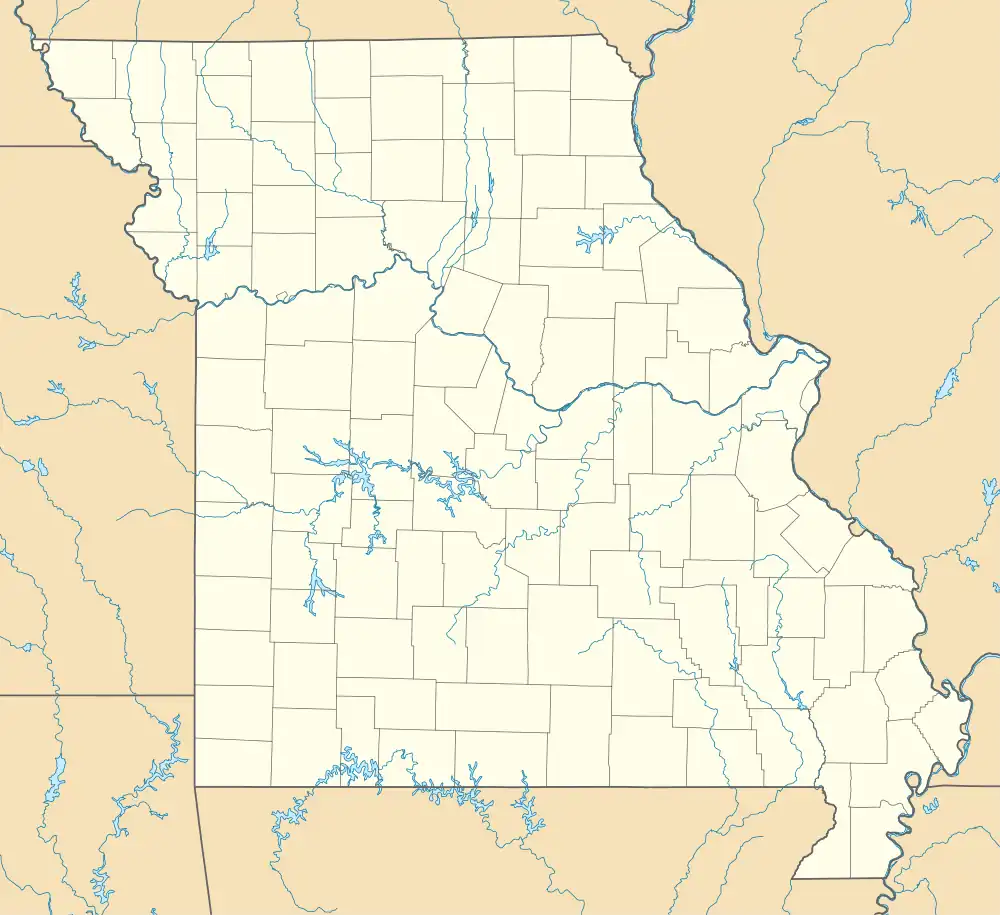
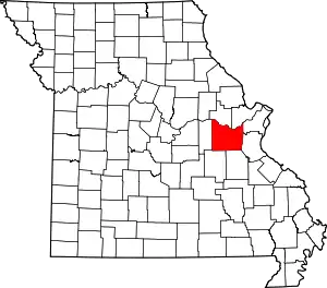
Spring Bluff is an unincorporated community in southwest Franklin County, Missouri, United States.[1]
The community sits on a ridge at the intersection of Missouri routes 185 and AC approximately seven miles northwest of Sullivan. An incised meander of the Bourbeuse River lies one mile northwest of the community.[2]
History
A post office called Springbluff was established in 1872, and remained in operation until 1933.[3] The community most likely was so named on account of its lofty elevation above a spring.[4]
Education
Spring Bluff R-XV School District is a public school district that includes kindergarten through eighth grades. It received the "Distinction in Performance" award from 2001-2002 to 2011–2012.[5]
Notes
- 1 2 3 "Spring Bluff, Missouri". Geographic Names Information System. United States Geological Survey, United States Department of the Interior.
- ↑ Spring Bluff, MO, 7.5 Minute Topographic Quadrangle, USGS, 1966 (1980 rev.)
- ↑ "Post Offices". Jim Forte Postal History. Retrieved September 30, 2016.
- ↑ "Franklin County Place Names, 1928–1945 (archived)". The State Historical Society of Missouri. Archived from the original on June 24, 2016. Retrieved September 30, 2016.
{{cite web}}: CS1 maint: bot: original URL status unknown (link) - ↑ "Spring Bluff R-XV School District - School Profile". www.springbluffpirates.com. Retrieved January 3, 2017.
This article is issued from Wikipedia. The text is licensed under Creative Commons - Attribution - Sharealike. Additional terms may apply for the media files.
