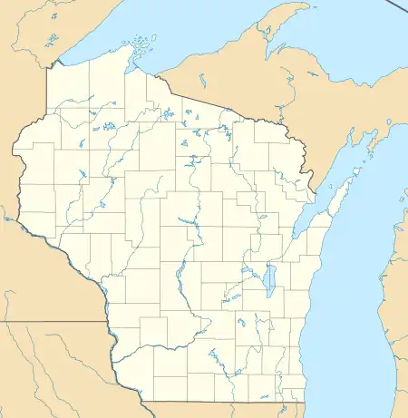
Staadts, Wisconsin | |
|---|---|
Ghost town | |
 Staadts, Wisconsin | |
| Coordinates: 44°46′45″N 90°07′12″W / 44.77917°N 90.12000°W | |
| Country | United States |
| State | Wisconsin |
| County | Marathon |
| Elevation | 1,319 ft (402 m) |
| GNIS feature ID | 1876741[1] |
Staadts is a ghost town, in the town of Eau Pleine, Marathon County, Wisconsin, United States. Staadts was 2.5 miles (4.0 km) southwest of Stratford. The town was marked on USGS maps as late as 1953.[1]
References
This article is issued from Wikipedia. The text is licensed under Creative Commons - Attribution - Sharealike. Additional terms may apply for the media files.
