Stará Lehota | |
|---|---|
Municipality | |
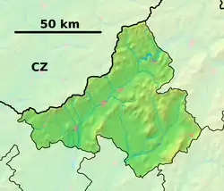 Stará Lehota Location of Stará Lehota in the Trenčín Region 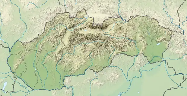 Stará Lehota Stará Lehota (Slovakia) | |
| Coordinates: 48°39′N 17°57′E / 48.650°N 17.950°E | |
| Country | Slovakia |
| Region | Trenčín |
| District | Nové Mesto nad Váhom |
| First mentioned | 1348 |
| Area | |
| • Total | 16.167 km2 (6.242 sq mi) |
| Elevation | 326 m (1,070 ft) |
| Population | |
| • Total | 263 |
| • Density | 16/km2 (42/sq mi) |
| Postal code | 916 35 (pošta Modrová) |
| Area code | 421-32 |
| Car plate | NM |
| Website | staralehota.sk |
Stará Lehota (Hungarian: Szentmiklósvölgye) is a village and municipality in Nové Mesto nad Váhom District in the Trenčín Region of western Slovakia.
History
In historical records the village was first mentioned in 1348.
Geography
The municipality lies at an altitude of 326 metres and covers an area of 16.167 km². It has a population of about 263 people.
External links
This article is issued from Wikipedia. The text is licensed under Creative Commons - Attribution - Sharealike. Additional terms may apply for the media files.