Staryi Krym
Старий Крим | |
|---|---|
 | |
 Flag  Coat of arms | |
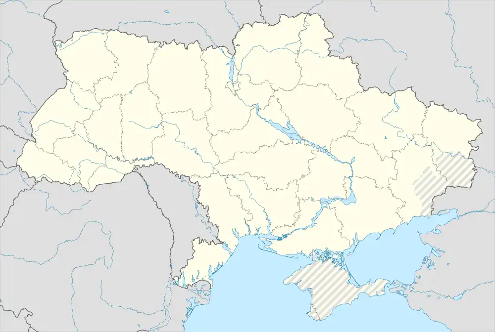 Staryi Krym Location of Staryi Krym in Donetsk Oblast 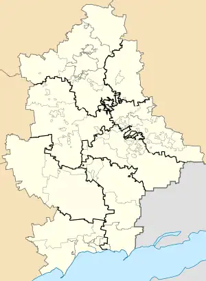 Staryi Krym Staryi Krym (Donetsk Oblast) | |
| Coordinates: 47°09′35″N 37°29′13″E / 47.15972°N 37.48694°E | |
| Country | |
| Oblast | |
| Raion | Mariupol Raion |
| Hromada | Mariupol urban hromada |
| Founded | 1780 |
| Area | |
| • Total | 3.55 km2 (1.37 sq mi) |
| Elevation | 39 m (128 ft) |
| Population (2022)[2] | |
| • Total | 5,734 |
| • Density | 1,600/km2 (4,200/sq mi) |
| Time zone | UTC+2 (MSK) |
| • Summer (DST) | UTC+3 |
| Postal code | 87591 |
| Area code | +380 629 |
Staryi Krym (Ukrainian: Старий Крим) is an urban-type settlement in Mariupol Raion, Donetsk Oblast, eastern Ukraine. The settlement is about 7 km (4.3 mi) from the city of Mariupol, located on the right bank of the Kalchyk River. The population is 5,734 (2022 estimate).[2]
References
- ↑ "Staryi Krym (Donetsk Oblast)". weather.in.ua. Retrieved 12 June 2022.
- 1 2 Чисельність наявного населення України на 1 січня 2022 [Number of Present Population of Ukraine, as of January 1, 2022] (PDF) (in Ukrainian and English). Kyiv: State Statistics Service of Ukraine. Archived (PDF) from the original on 4 July 2022.
This article is issued from Wikipedia. The text is licensed under Creative Commons - Attribution - Sharealike. Additional terms may apply for the media files.