| Stavfjord | |
|---|---|
| Stavfjorden | |
.png.webp) Stavfjorden marked on a 1610 map of Vestland's coast and fjords. | |
 Stavfjord | |
| Location | Sunnfjord, Vestland |
| Coordinates | 61°27′37″N 5°00′49″E / 61.4604°N 5.0135°E |
| Primary inflows | Norwegian Sea |
| Primary outflows | Førdefjorden |
| Basin countries | Norway |
| Max. length | 18 kilometres (11 mi) |
| Islands | Askrova and Svanøy |
| Settlements | Grimeli |
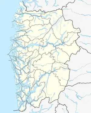
Stavfjord (Norwegian: Stavfjorden) is a fjord situated in Vestland county, Norway about 100 kilometres (62 mi) North of Bergen. It is also part of a series of fjords that are located in the traditional district of Sunnfjord. The fjord begins in the Norwegian Sea and passes Eastward inland through the municipalities of Sunnfjord, Askvoll, and Flora for 18 kilometres (11 mi) before meeting up with the Førdefjorden at Flokeneset.[1]
History
On the South side of Stavfjord, on the Norwegian mainland, lies the small settlement of Grimeli, where copper mines were located between the 18th century and 1915. The mined copper was sent to Førde to be melted there. The fjord's banks and bedrock consist of Cambro-Silurian sediments in which copper can be found in greenschist from the Ordovician period, which itself belongs to the Sunnfjord-Stavfjord ophiolite complex.[1]
Settlements
In or along the shores of Stavfjord, lie a number of inhabited settlements alongside a number of small islands, islets and skerries, including:[1]
See also
References
- 1 2 3 4 "Stavfjorden". snl.no. 8 June 2020. Retrieved 1 December 2022.
- ↑ "Askvoll". grind.no. Retrieved 8 December 2022.
- ↑ "Svanøya, Florø". trek.zone. Retrieved 8 December 2022.
- ↑ "Lighthouses of Norway: Sunnfjord (Florø Area)". ibiblio.org. 4 May 2022. Retrieved 8 December 2022.