Stemphleytown | |
|---|---|
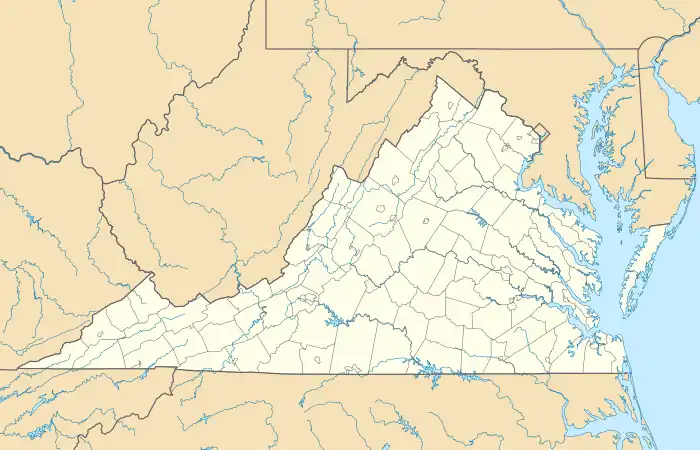 Stemphleytown Location in Virginia  Stemphleytown Stemphleytown (the United States) | |
| Coordinates: 38°24′39″N 78°57′31″W / 38.41083°N 78.95861°W | |
| Country | |
| State | Virginia |
| County | Rockingham County |
Stemphleytown is an unincorporated community located in Rockingham County, in the U.S. state of Virginia.
Geography
It is located two miles west of Dayton, along Virginia State Route 257.[1][2]

Stemphleytown
Location of Stemphleytown within the Rockingham County
References
- ↑ Wayland, John W. (June 1, 2009). Men of Mark and Representative Citizens of Harrisonburg and Rockingham County, Virginia: Portraits and Biographies of Men and Women. Genealogical Publishing Com. p. 125. ISBN 978-0-8063-4834-6. Retrieved January 26, 2011.
- ↑ Google Maps (Map). Google.
Municipalities and communities of Rockingham County, Virginia, United States | ||
|---|---|---|
| Towns |  Map of Virginia highlighting Rockingham County | |
| CDPs | ||
| Other communities |
| |
| Footnotes | ‡This populated place also has portions in an adjacent county or counties | |
This article is issued from Wikipedia. The text is licensed under Creative Commons - Attribution - Sharealike. Additional terms may apply for the media files.