| Strondefjell | |
|---|---|
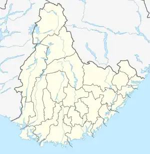
 Strondefjell Location of the mountain  Strondefjell Strondefjell (Norway) | |
| Highest point | |
| Elevation | 1,394 m (4,573 ft) |
| Prominence | 70 m (230 ft) |
| Coordinates | 59°20′42″N 7°09′35″E / 59.3450°N 07.1597°E[1] |
| Geography | |
| Location | Agder, Norway |
| Parent range | Setesdalsheiene |
Strondefjell is a mountain in the municipality of Bykle in Agder county, Norway. The 1,394-metre (4,573 ft) tall mountain has a topographic prominence of 70 metres (230 ft). The mountain is the 23rd highest in the whole county. The mountain sits in the Setesdalsheiene mountains on the northern shore of the lake Botsvatn, about 10 kilometres (6.2 mi) straight west of the village of Bykle.
See also
References
- ↑ "Strondefjell, Bykle (Aust-Agder)" (in Norwegian). yr.no. Retrieved 2017-03-15.
This article is issued from Wikipedia. The text is licensed under Creative Commons - Attribution - Sharealike. Additional terms may apply for the media files.