| Styrrup | |
|---|---|
 Derelict farmhouse on Main Street in 2006 | |
 Styrrup Location within Nottinghamshire | |
| Population | 731 (2021 census - parish) |
| Civil parish | |
| District | |
| Shire county | |
| Region | |
| Country | England |
| Sovereign state | United Kingdom |
| Post town | Doncaster |
| Postcode district | DN11 |
| Police | Nottinghamshire |
| Fire | Nottinghamshire |
| Ambulance | East Midlands |
| UK Parliament | |
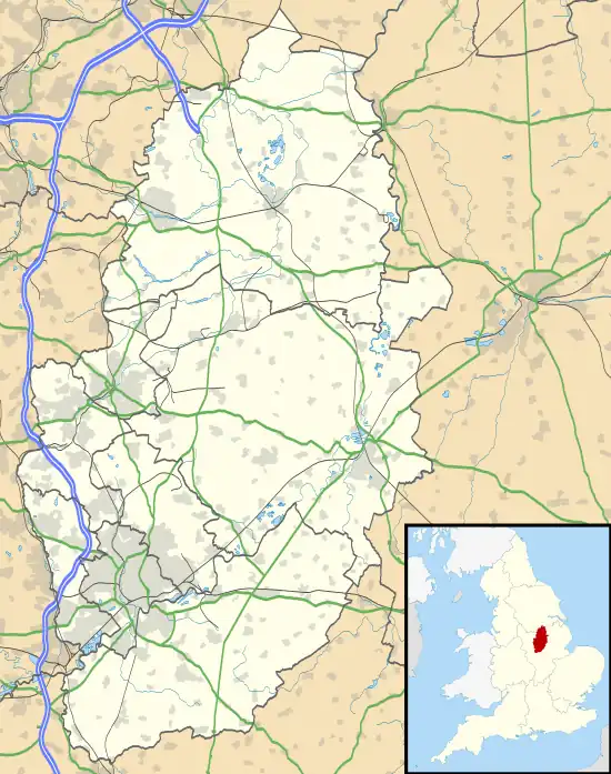
Styrrup is a village in the civil parish of Styrrup with Oldcotes on the B6463 road in the Bassetlaw district, in the English county of Nottinghamshire. The population of the civil parish at the 2021 census was 731,[1] an increase from the 685 of 2011.[2] It is near the small town of Harworth. The village is surrounded by farmland and is approximately 1 mile from the A1 road intersection at Blyth. The housing consists primarily of modern properties constructed in the 1970s and numerous barn conversions arranged off the Main Street. The local pub, The White Swan, has been demolished and replaced by modern housing.
Etymology
In the Domesday survey it is mentioned as Estirapc - Eastern rape - as it lies on the borders east of the west riding of York.
See also
References
- ↑ UK Census (2021). "2021 Census Area Profile – Styrrup with Oldcotes (E04007841)". Nomis. Office for National Statistics. Retrieved 12 January 2024.
- ↑ "Civil Parish population 2011". Neighbourhood Statistics. Office for National Statistics. Retrieved 15 April 2016.
53°24′31″N 1°05′13″W / 53.4086°N 1.0870°W